Transport Functions
Road
Multimodal
Hub Profile
Place type
Populated place
Region
New York
Time zone
America/New_York
Elevation
425 m
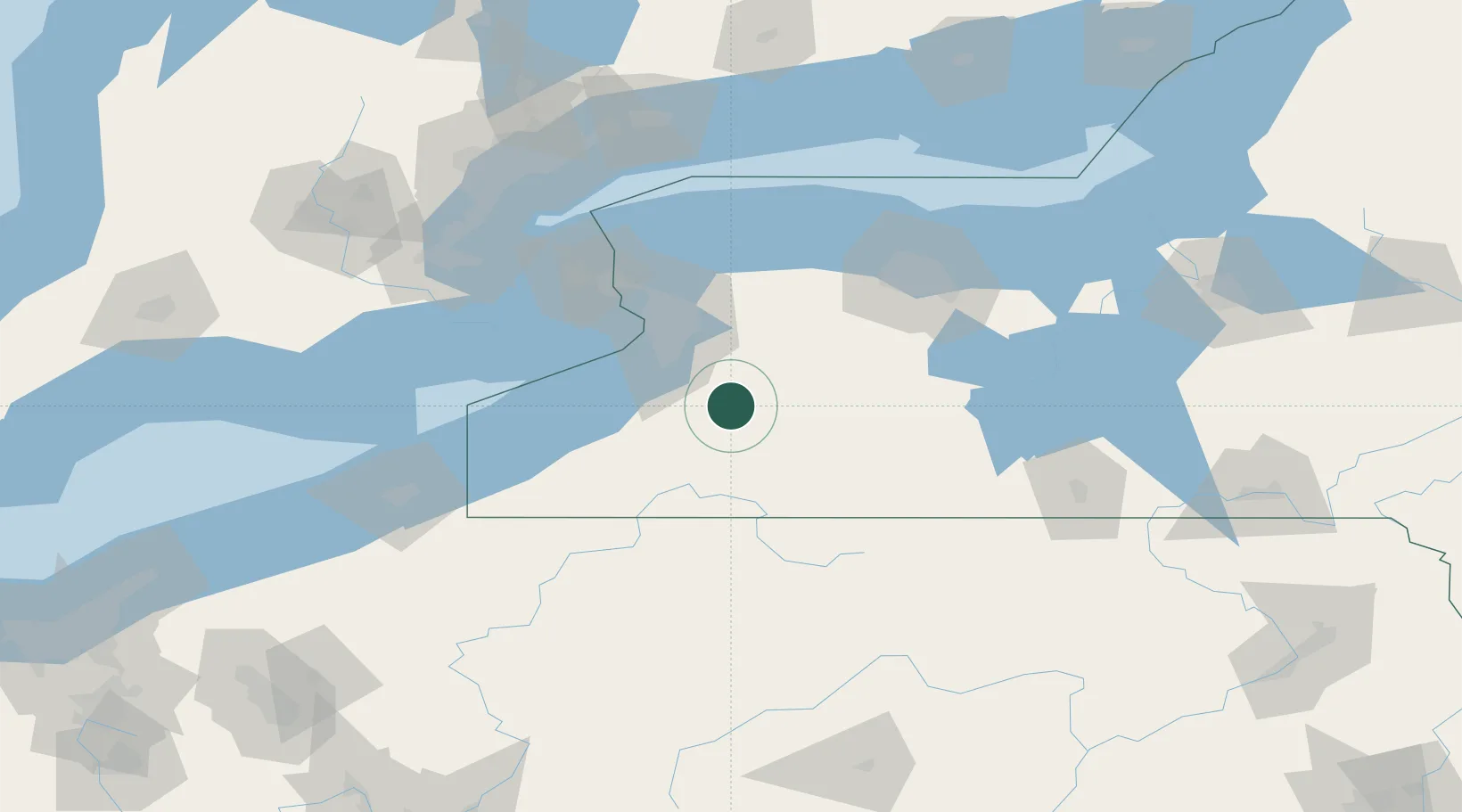
Location
Nearby Logistics Neighbours
Cities
- 1Chaffee5 km
- 2Delevan6 km
- 3Arcade7 km
- 4East Concord12 km
- 5Hamburg32 km
Ports
- 1Buffalo50 km
- 2Tonawanda64 km
- 3Dunkirk69 km
- 4Port Colborne73 km
- 5Welland80 km
Airports
Trade Zones
- 1FTZ No. 023 Buffalo49 km
- 2Niagara Foreign Trade Zone77 km
- 3FTZ No. 289 Ontario County82 km
- 4FTZ No. 141 Monroe County94 km
- 5FTZ No. 034 Niagara County101 km
DatabookThe Record of Consolidated Knowledge
United States beyond logistics?