UN/LOCODE hub · Slovenia
SISEM
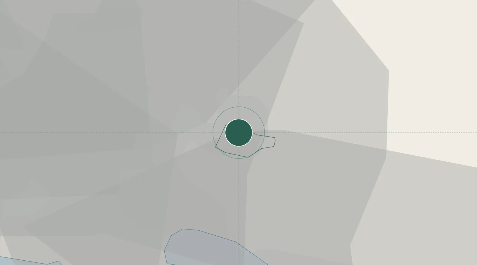
Sempeter pri Gorici
45.9333°, 13.6333°
3,694
Population
2
Transport functions
Transport Functions
Rail
Road
Hub Profile
Place type
Regional capital
Region
Šempeter-Vrtojba
Population
3,694
Time zone
Europe/Ljubljana
Elevation
77 m
Location
Nearby Logistics Neighbours
Cities
- 1Volcja Draga5 km
- 2Miren6 km
- 3Savogna d'Isonzo6 km
- 4Nova Gorica7 km
- 5Cavezzo14 km
Ports
- 1Monfalcone18 km
- 2Trieste33 km
- 3Grado37 km
- 4Muggia39 km
- 5Nogaro41 km
Airports
- 1Trieste Airport17 km
- 2Udine-Rivolto Air Base45 km
- 3Portorož Airport51 km
- 4Ljubljana Jože Pučnik Airport71 km
- 5Aviano Air Base81 km
Trade Zones
- 1Free Port of Trieste33 km
- 2Free Zone Kukuljanovo95 km
- 3Port of Rijeka Free Zone96 km
- 4Free Port of Venice117 km
- 5Port of Pula Free Zone120 km
DatabookThe Record of Consolidated Knowledge
Slovenia beyond logistics?