Transport Functions
Port
Hub Profile
Place type
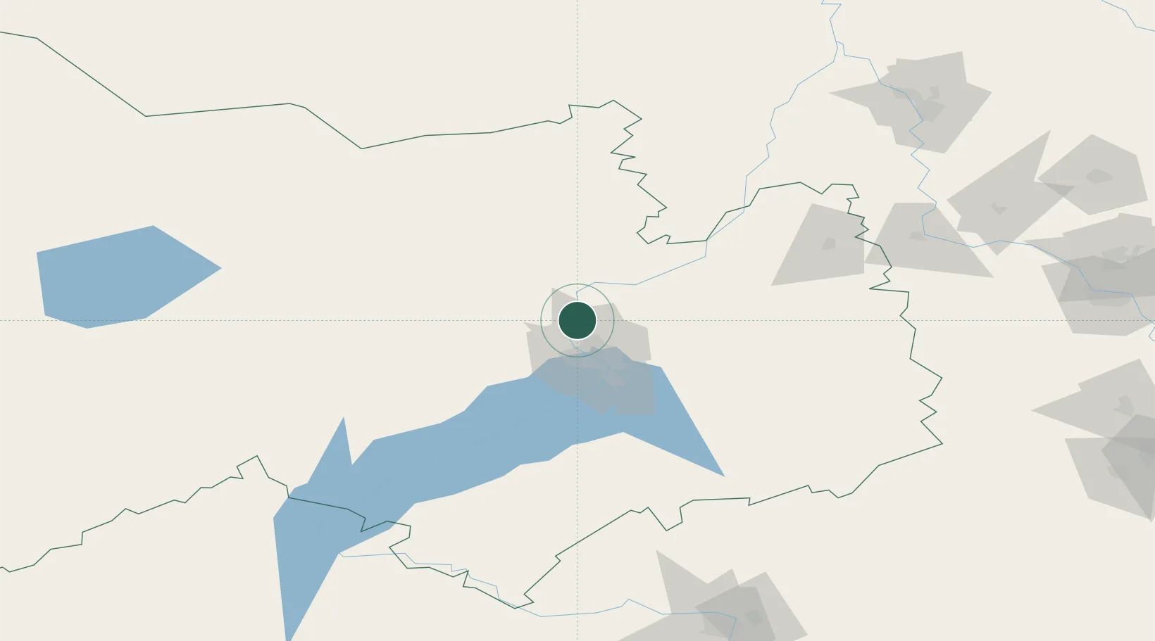
Populated place
Region
Novosibirsk Oblast
Time zone
Asia/Novosibirsk
Elevation
117 m
Location
Nearby Logistics Neighbours
Cities
- 1Molot38 km
- 2Kireyevskoye119 km
- 3Kozhevnikovo136 km
- 4Zarinsk214 km
- 5Belovo237 km
Ports
- 1Igarka1375 km
- 2Dudinka1586 km
- 3Port Dikson2037 km
- 4Muhamamad Bin Qasim3616 km
- 5Karachi3625 km
Airports
Trade Zones
DatabookThe Record of Consolidated Knowledge
Russia beyond logistics?