Transport Functions
Rail
Road
Hub Profile
Place type
Provincial seat
Region
Kuzbass
Population
75,764
Time zone
Asia/Novokuznetsk
Elevation
206 m
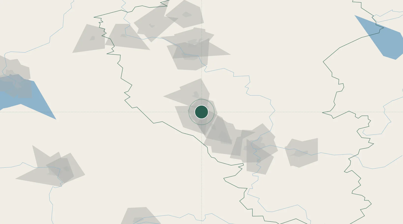
Location
Nearby Logistics Neighbours
Cities
- 1Zarinsk116 km
- 2Temirtau160 km
- 3Kireyevskoye229 km
- 4Krasnyy Yar237 km
- 5Kozhevnikovo253 km
Ports
- 1Igarka1452 km
- 2Dudinka1668 km
- 3Port Dikson2141 km
- 4Tianjin Xin Gang2917 km
- 5Hankow3459 km
Airports
Trade Zones
DatabookThe Record of Consolidated Knowledge
Russia beyond logistics?