Transport Functions
Rail
Road
Hub Profile
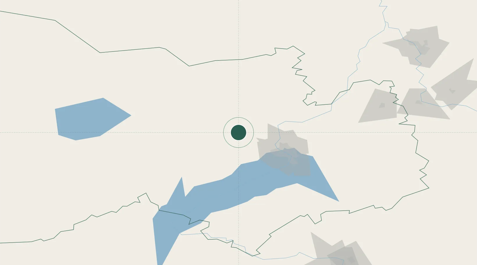
Place type
Populated place
Region
Novosibirsk Oblast
Time zone
Asia/Novosibirsk
Elevation
134 m
Location
Nearby Logistics Neighbours
Cities
- 1Krasnyy Yar38 km
- 2Kireyevskoye140 km
- 3Kozhevnikovo153 km
- 4Zarinsk245 km
- 5Krivosheino250 km
Ports
- 1Igarka1372 km
- 2Dudinka1582 km
- 3Port Dikson2028 km
- 4Muhamamad Bin Qasim3606 km
- 5Karachi3615 km
Airports
Trade Zones
DatabookThe Record of Consolidated Knowledge
Russia beyond logistics?