Transport Functions
Rail
Road
Hub Profile
Place type
District seat
Region
Greater Poland
Population
29,010
Time zone
Europe/Warsaw
Elevation
92 m
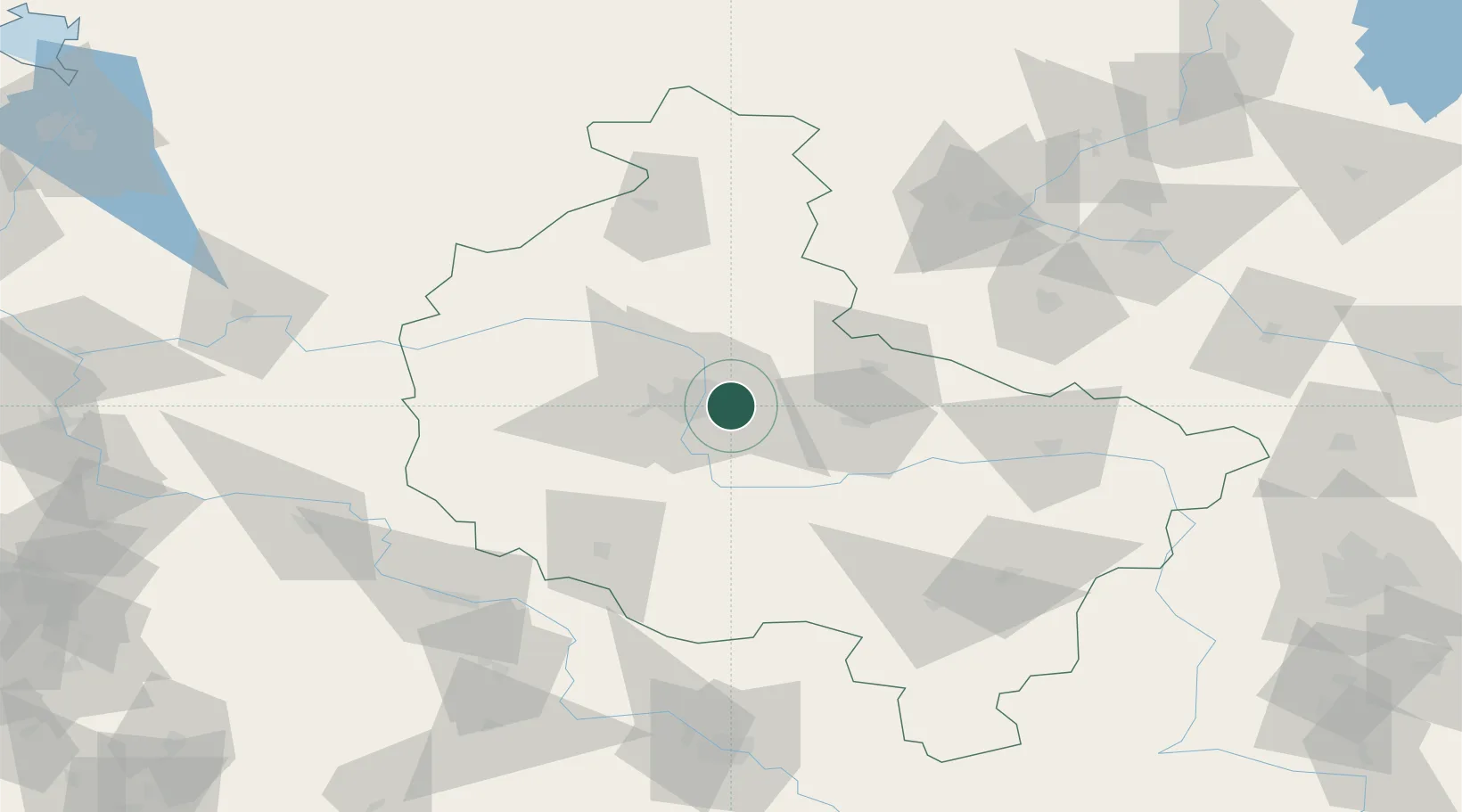
Location
Nearby Logistics Neighbours
Cities
- 1Kobylnica4 km
- 2Robakowo9 km
- 3Lubon15 km
- 4Komorniki19 km
- 5Dziecmierowo20 km
Airports
Trade Zones
- 1Legnica SEZ (Legnicka SSE)147 km
- 2Kostrzyń-Słubice SEZ166 km
- 3Łódź SEZ (ōódzka SSE)180 km
- 4Wałbrzych SEZ INVEST-PARK (Wałbrzyska SSE)183 km
- 5Kamienna Góra194 km
DatabookThe Record of Consolidated Knowledge
Poland beyond logistics?