Transport Functions
Road
Multimodal
Hub Profile
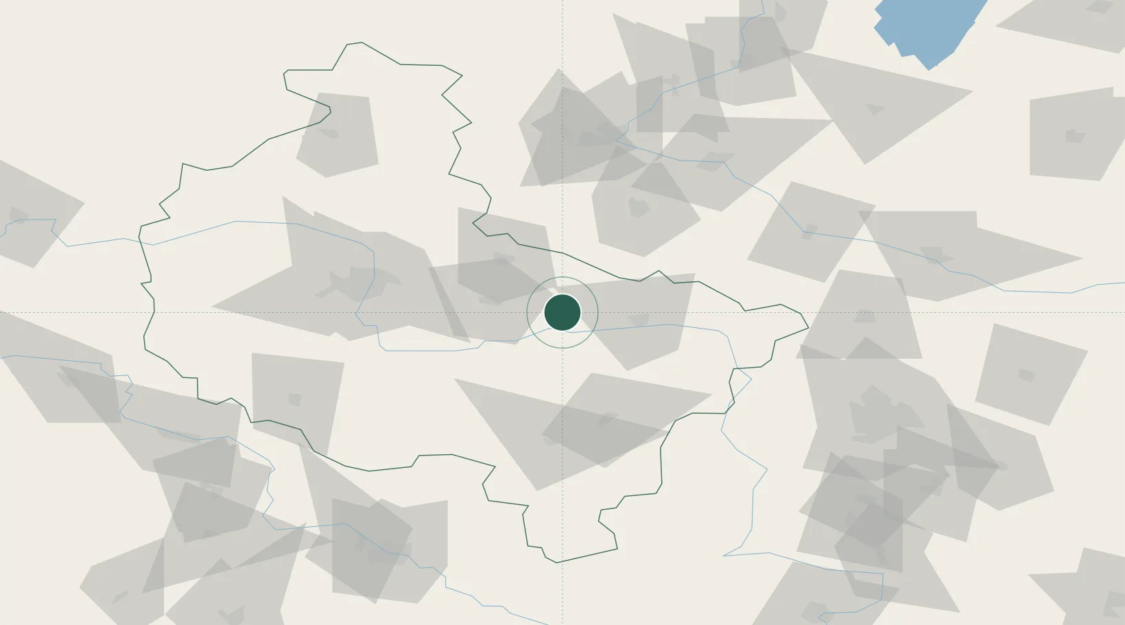
Place type
Provincial seat
Region
Greater Poland
Population
14,476
Time zone
Europe/Warsaw
Elevation
94 m
Location
Nearby Logistics Neighbours
Airports
Trade Zones
- 1Łódź SEZ (ōódzka SSE)124 km
- 2Legnica SEZ (Legnicka SSE)175 km
- 3Wałbrzych SEZ INVEST-PARK (Wałbrzyska SSE)196 km
- 4Kamienna Góra211 km
- 5Kostrzyń-Słubice SEZ223 km
DatabookThe Record of Consolidated Knowledge
Poland beyond logistics?