Transport Functions
Road
Multimodal
Hub Profile
Place type
Populated place
Region
Greater Poland
Time zone
Europe/Warsaw
Elevation
93 m
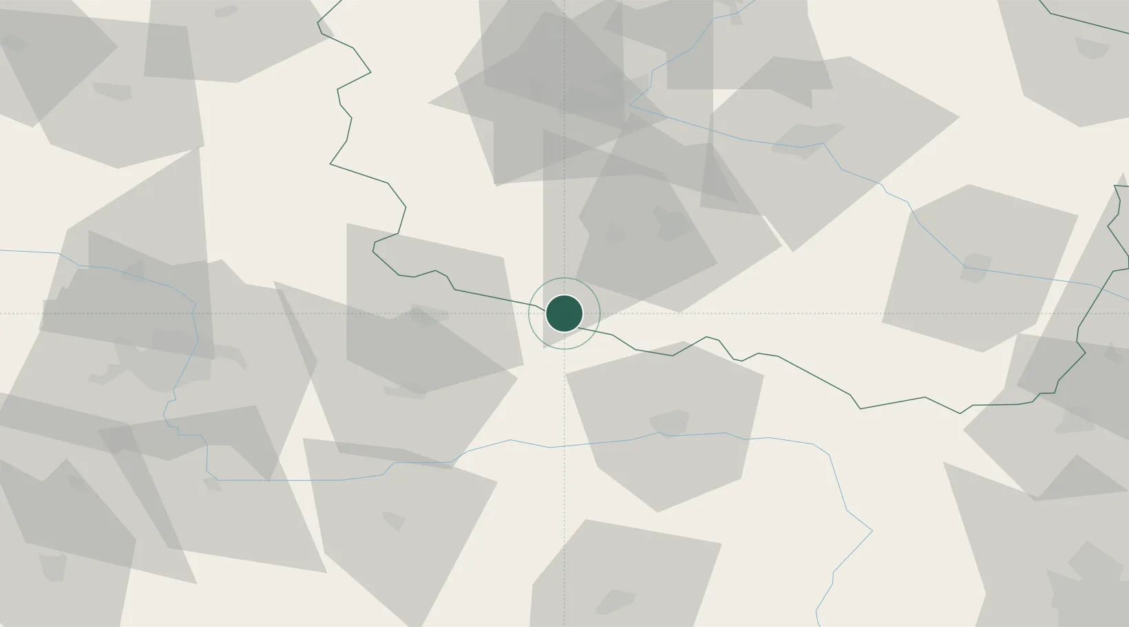
Location
Nearby Logistics Neighbours
Airports
Trade Zones
- 1Łódź SEZ (ōódzka SSE)136 km
- 2Pomeranian SEZ (Pomorska SSE)194 km
- 3Legnica SEZ (Legnicka SSE)199 km
- 4Gdansk Port Duty Free Zone211 km
- 5Słupsk SEZ (Słupska SSE)222 km
DatabookThe Record of Consolidated Knowledge
Poland beyond logistics?