Transport Functions
Rail
Road
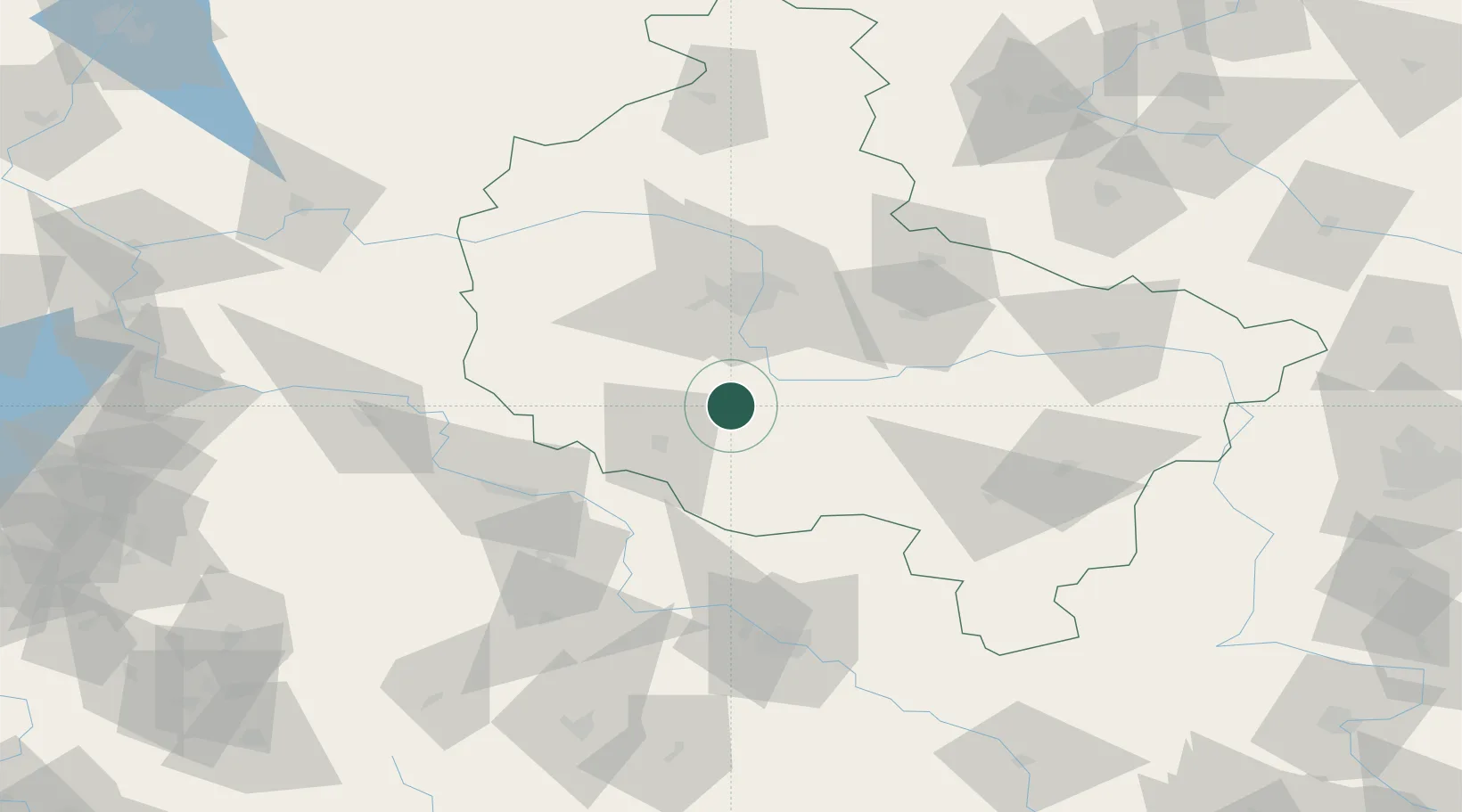
Hub Profile
Place type
Populated place
Region
Greater Poland
Time zone
Europe/Warsaw
Elevation
88 m
Location
Nearby Logistics Neighbours
Cities
- 1Gostyn18 km
- 2Leszno26 km
- 3Poniec26 km
- 4Ksiaz Wielkopolsk27 km
- 5Mosina28 km
Ports
- 1Szczecin221 km
- 2Police232 km
- 3Kolobrzeg261 km
- 4Darlowo272 km
- 5Swinoujscie275 km
Airports
Trade Zones
- 1Legnica SEZ (Legnicka SSE)102 km
- 2Wałbrzych SEZ INVEST-PARK (Wałbrzyska SSE)137 km
- 3Kamienna Góra147 km
- 4Kostrzyń-Słubice SEZ164 km
- 5Łódź SEZ (ōódzka SSE)182 km
DatabookThe Record of Consolidated Knowledge
Poland beyond logistics?