UN/LOCODE hub · Netherlands
NLMDI
Middenbeemster
52.5500°, 40.9167°
4,070
Population
2
Transport functions
Transport Functions
Port
Multimodal
Hub Profile
Place type
Populated place
Region
North Holland
Population
4,070
Time zone
Europe/Amsterdam
Elevation
-2 m
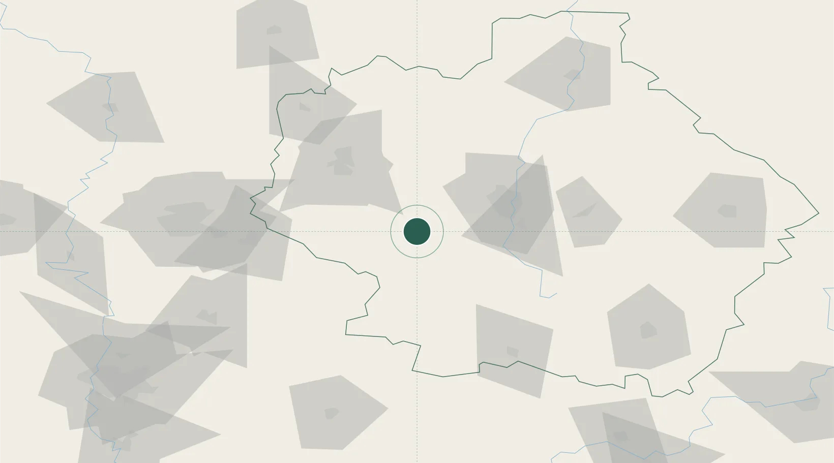
Location
Nearby Logistics Neighbours
Cities
- 1Lebedyan'129 km
- 2Yelets162 km
- 3Kazinka181 km
- 4Pereslavl-Zalesskiy191 km
- 5Liski200 km
Ports
- 1Rostov-Na-Donu605 km
- 2Taganrog611 km
- 3Azov615 km
- 4Mariupol654 km
- 5Yeysk674 km
Airports
- 1Tambov Air Base35 km
- 2Donskoye Airport48 km
- 3Michurinsk Air Base55 km
- 4Lipetsk Airport95 km
- 5Lipetsk Air Base100 km
DatabookThe Record of Consolidated Knowledge
Netherlands beyond logistics?