Transport Functions
Port
Airport
Multimodal
Postal
Hub Profile
Place type
National capital
Region
Valletta
Population
6,794
Time zone
Europe/Malta
Elevation
44 m
Logistics facilities
1
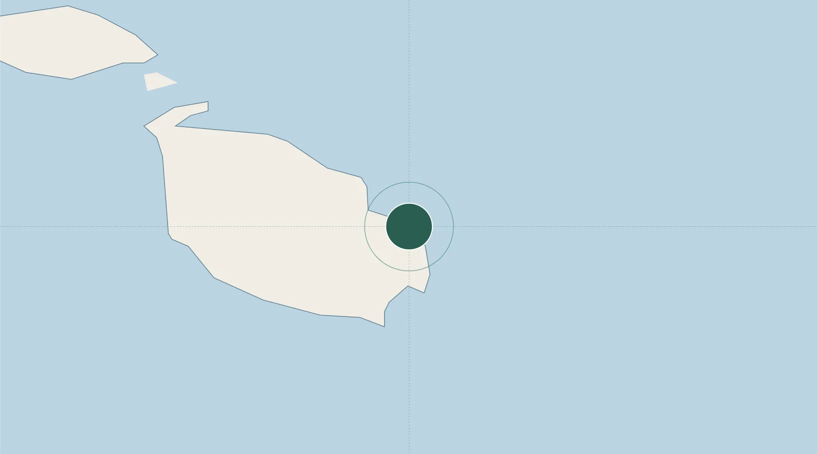
Location
Nearby Logistics Neighbours
Cities
- 1Marsaskala2 km
- 2Floriana4 km
- 3Marsamxett5 km
- 4Sliema5 km
- 5Hamrun6 km
Ports
- 1Marsaxlokk8 km
- 2Pozzallo96 km
- 3Gela134 km
- 4Licata145 km
- 5Siracusa145 km
Airports
- 1Malta International Airport7 km
- 2Xewkija Heliport29 km
- 3Comiso Airport123 km
- 4Sigonella Navy Air Base172 km
- 5Lampedusa Airport180 km
Trade Zones
- 1Malta Freeport8 km
- 2Sicily Special Economic Zone Area187 km
- 3Misurata Free Zone399 km
- 4Zwara-Abu-Kemmash Free Trade Zone401 km
- 5Calabria Special Economic Zone408 km
DatabookThe Record of Consolidated Knowledge
Malta beyond logistics?