Transport Functions
Port
Hub Profile
Place type
Regional capital
Region
Kirkop
Population
2,397
Time zone
Europe/Malta
Elevation
82 m
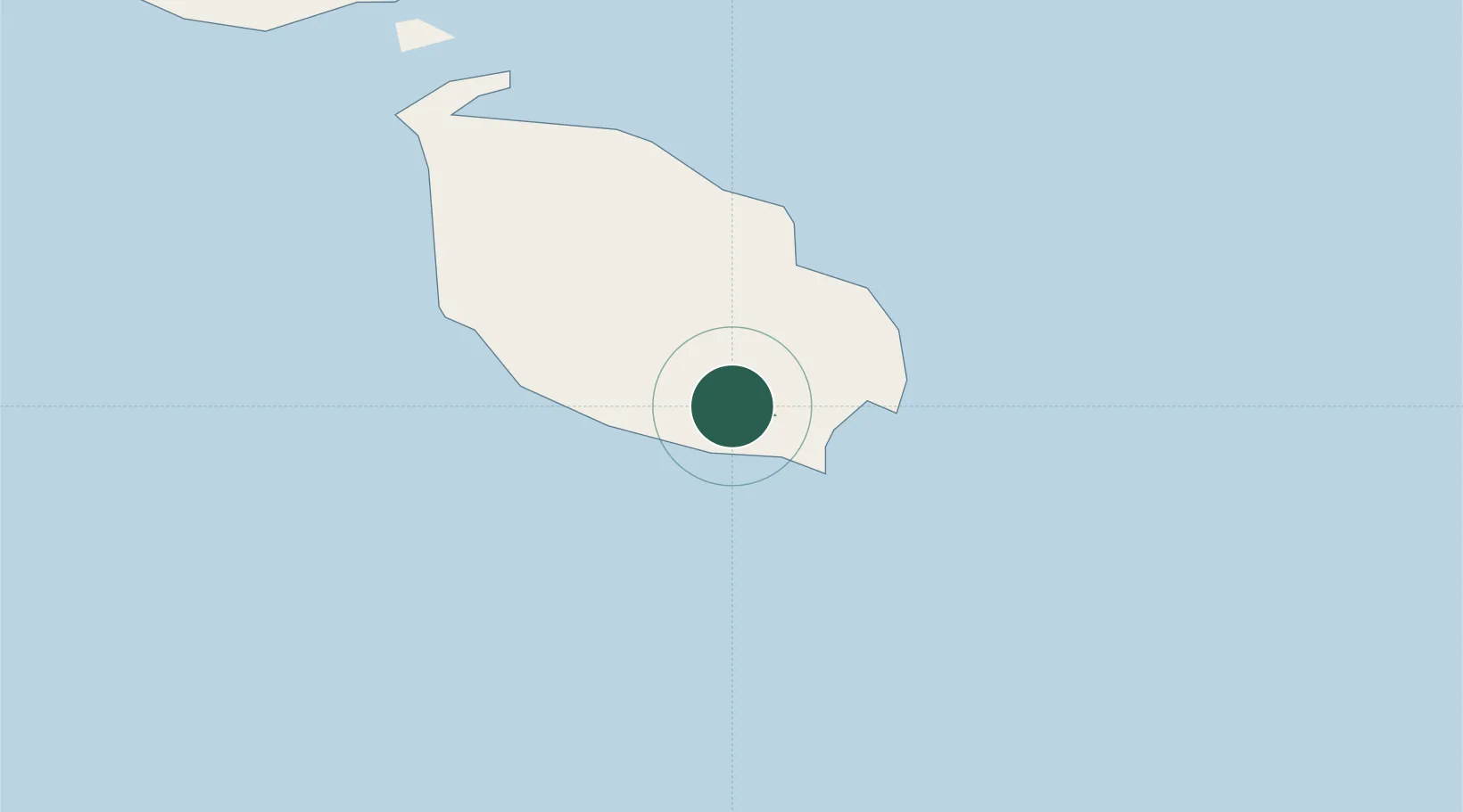
Location
Nearby Logistics Neighbours
Ports
- 1Marsaxlokk6 km
- 2Valletta Harbors8 km
- 3Pozzallo104 km
- 4Gela139 km
- 5Licata148 km
Airports
- 1Malta International Airport2 km
- 2Xewkija Heliport29 km
- 3Comiso Airport130 km
- 4Lampedusa Airport173 km
- 5Sigonella Navy Air Base179 km
Trade Zones
- 1Malta Freeport5 km
- 2Sicily Special Economic Zone Area193 km
- 3Zwara-Abu-Kemmash Free Trade Zone393 km
- 4Misurata Free Zone394 km
- 5Ben Guerdane Economic Free Zone402 km
DatabookThe Record of Consolidated Knowledge
Malta beyond logistics?