UN/LOCODE hub · Morocco
MANPS

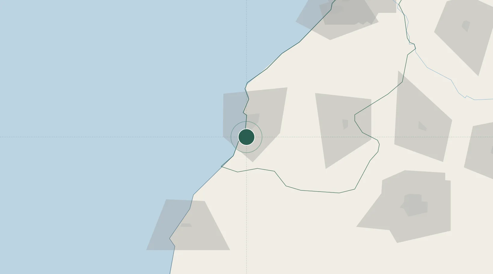
Nouveau Port Safi, Sidi Boudenyan

32.1667°, -9.2667°
1
Transport functions

Transport Functions

Port
UN/LOCODE

Hub Profile

Region
SAF
GeoNames

Location

Location of MANPS
Natural Earth 10m (public domain) · SAF · MANPS · 32.17, -9.27GoogleOSMYandex

Nearby Logistics Neighbours

Cities
  1. 1Essaouira86 km
  2. 2Sidi Bennour96 km
  3. 3Imintanoute118 km
  4. 4Marrakech134 km
  5. 5El Jadida140 km
Nearest neighbours — logibook spatial index (haversine) over the source coordinates
Ports
  1. 1Safi15 km
  2. 2Essaouira89 km
  3. 3El Jorf Lasfar122 km
  4. 4El Jadida140 km
  5. 5Agadir196 km
Nearest neighbours — logibook spatial index (haversine) over the source coordinates
Airports
  1. 1Essaouira-Mogador Airport94 km
  2. 2Marrakesh Menara Airport132 km
  3. 3Al Massira Airport206 km
  4. 4Mohammed V International Airport206 km
  5. 5Ouarzazate International Airport262 km
Nearest neighbours — logibook spatial index (haversine) over the source coordinates
Trade Zones
  1. 1Omrane Sahel Industrial Zone85 km
  2. 2Jorf Lasfar Industrial Park126 km
  3. 3Sidi Bouathman Industrial Zone128 km
  4. 4Settat Industrial Park - SETTAPARK179 km
  5. 5Casablanca MIDPARC Free Zone208 km
Nearest neighbours — logibook spatial index (haversine) over the source coordinates
DatabookThe Record of Consolidated Knowledge
Morocco beyond logistics?
Browse databook

All Sources

LocationsUN/LOCODE
UN/LOCODE — free
Portsthe NGA World Port Index
Public domain (US gov)
AirportsOurAirports
Public domain
Trade Zonesthe World Bank SEZ database
CC BY 4.0
Trade ZonesOpen Zone Map
CC BY
← Morocco locations