Transport Functions
Port
Road
Hub Profile
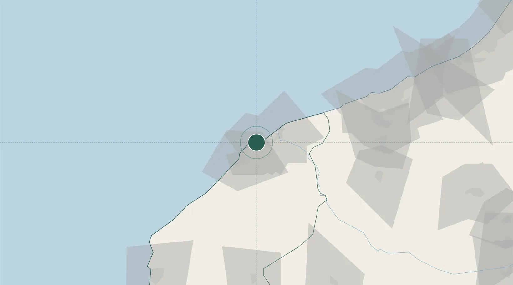
Place type
Populated place
Region
Casablanca-Settat
Population
212,863
Time zone
Africa/Casablanca
Elevation
10 m
Location
Nearby Logistics Neighbours
Cities
- 1Souk Et Tnine Des Chtouka33 km
- 2Sidi Bennour67 km
- 3Bouskoura83 km
- 4Casablanca93 km
- 5Mediouna94 km
Ports
- 1El Jorf Lasfar18 km
- 2Casablanca91 km
- 3Mohammedia115 km
- 4Safi127 km
- 5Kenitra211 km
Airports
- 1Mohammed V International Airport86 km
- 2Rabat-Salé Airport185 km
- 3Marrakesh Menara Airport188 km
- 4Kenitra Air Base211 km
- 5Beni Mellal Airport225 km
Trade Zones
DatabookThe Record of Consolidated Knowledge
Morocco beyond logistics?