Transport Functions
Multimodal
Hub Profile
Place type
Populated place
Region
Calabria
Time zone
Europe/Rome
Elevation
142 m
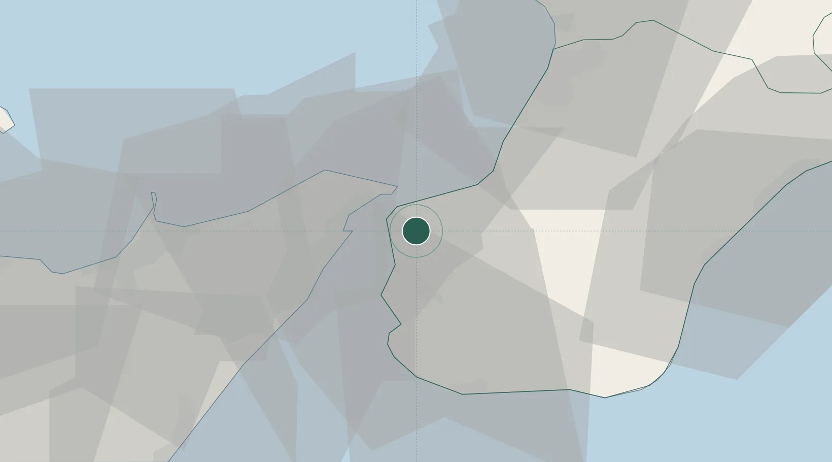
Location
Nearby Logistics Neighbours
Cities
- 1Villa San Giovanni, Calabria5 km
- 2Scilla6 km
- 3Torre Faro7 km
- 4Reggio di Calabria12 km
- 5Bagnara Calabra14 km
Ports
- 1Villa San Giovanni5 km
- 2Reggio Di Calabria8 km
- 3Messina10 km
- 4Gioia Tauro33 km
- 5Milazzo38 km
Airports
Trade Zones
DatabookThe Record of Consolidated Knowledge
Italy beyond logistics?