Transport Functions
Port
Road
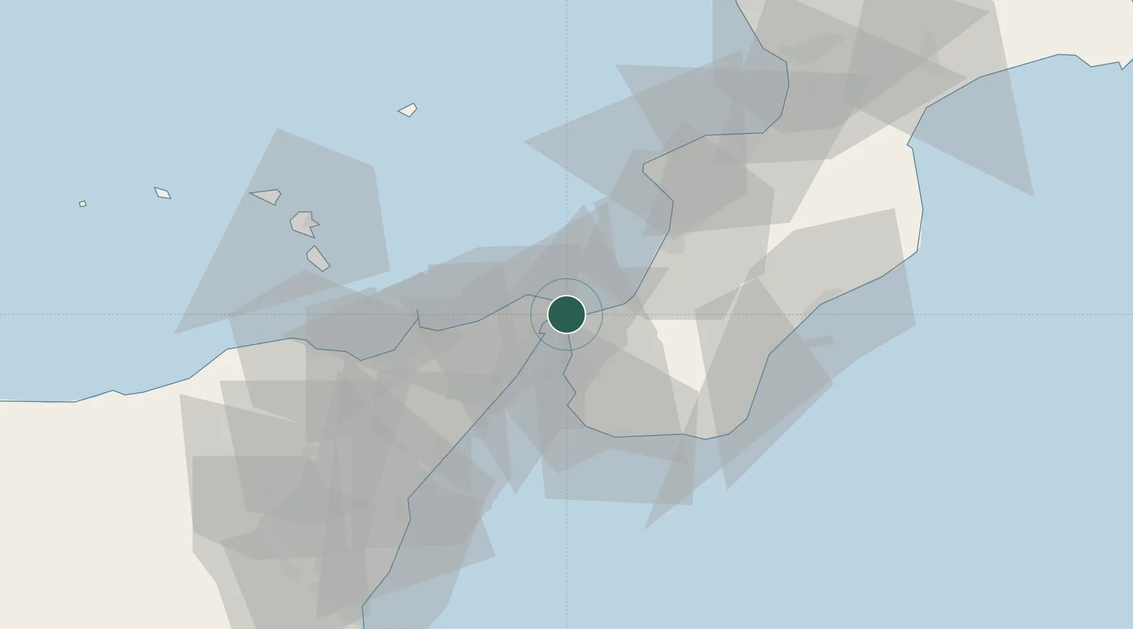
Location
Nearby Logistics Neighbours
Cities
- 1Villa San Giovanni, Calabria4 km
- 2Rosalì7 km
- 3Scilla7 km
- 4Camaro12 km
- 5Bagnara Calabra15 km
Ports
- 1Villa San Giovanni3 km
- 2Messina8 km
- 3Reggio Di Calabria14 km
- 4Gioia Tauro31 km
- 5Milazzo34 km
Airports
Trade Zones
DatabookThe Record of Consolidated Knowledge
Italy beyond logistics?