Transport Functions
Port
Rail
Road
Hub Profile
Place type
District seat
Region
Calabria
Population
8,505
Time zone
Europe/Rome
Elevation
50 m
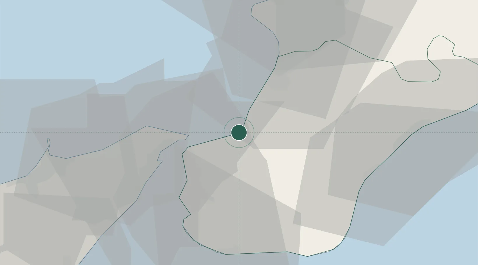
Location
Nearby Logistics Neighbours
Cities
- 1Scilla8 km
- 2Palmi9 km
- 3Rosalì14 km
- 4Torre Faro15 km
- 5Villa San Giovanni, Calabria16 km
Ports
- 1Villa San Giovanni16 km
- 2Gioia Tauro20 km
- 3Reggio Di Calabria22 km
- 4Messina22 km
- 5Milazzo49 km
Airports
Trade Zones
DatabookThe Record of Consolidated Knowledge
Italy beyond logistics?