Transport Functions
Port
Road
Airport
Hub Profile
Region
RC
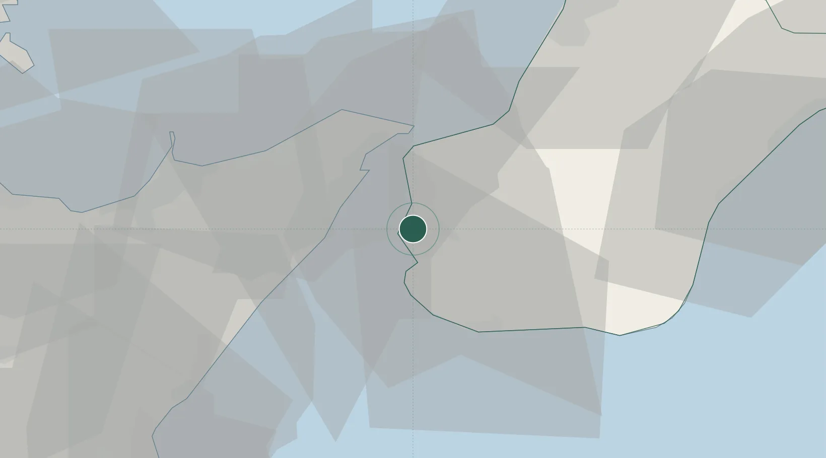
Location
Nearby Logistics Neighbours
Cities
- 1San Leo di Pellaro7 km
- 2Rosalì12 km
- 3Mili Marina12 km
- 4Villa San Giovanni, Calabria13 km
- 5Camaro16 km
Ports
- 1Messina13 km
- 2Villa San Giovanni14 km
- 3Milazzo37 km
- 4Gioia Tauro44 km
- 5Giardini Naxos45 km
Airports
Trade Zones
DatabookThe Record of Consolidated Knowledge
Italy beyond logistics?