Transport Functions
Multimodal
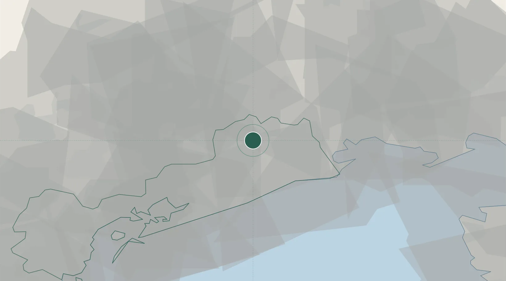
Hub Profile
Place type
Populated place
Region
Veneto
Population
1,610
Time zone
Europe/Rome
Elevation
6 m
Location
Nearby Logistics Neighbours
Cities
- 1Fossalta di Portogruaro7 km
- 2Gruaro8 km
- 3San Stino di Livenza11 km
- 4Cordovado11 km
- 5Morsano al Tagliamento13 km
Ports
- 1Nogaro29 km
- 2Grado39 km
- 3Porto Di Lido-Venezia48 km
- 4Monfalcone58 km
- 5Piran65 km
Airports
- 1Udine-Rivolto Air Base31 km
- 2Aviano Air Base33 km
- 3Venice Marco Polo Airport45 km
- 4Treviso Airport49 km
- 5Trieste Airport53 km
Trade Zones
DatabookThe Record of Consolidated Knowledge
Italy beyond logistics?