UN/LOCODE hub · Italy
ITZRA
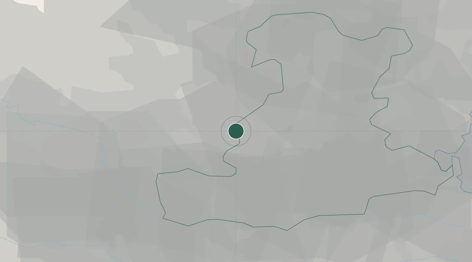
Ponte San Nicolò
45.3667°, 11.6167°
12,180
Population
1
Transport functions
Transport Functions
Multimodal
Hub Profile
Place type
District seat
Region
Veneto
Population
12,180
Time zone
Europe/Rome
Elevation
12 m
Location
Nearby Logistics Neighbours
Cities
- 1Campiglia dei Berici8 km
- 2Montegaldella8 km
- 3Orgiano12 km
- 4San Germano dei Berici12 km
- 5Mestrino13 km
Ports
- 1Porto Di Chioggia56 km
- 2Porto Di Lido-Venezia64 km
- 3Porto Garibaldi92 km
- 4Porto Di Corsini111 km
- 5Nogaro128 km
Airports
Trade Zones
DatabookThe Record of Consolidated Knowledge
Italy beyond logistics?