Transport Functions
Multimodal
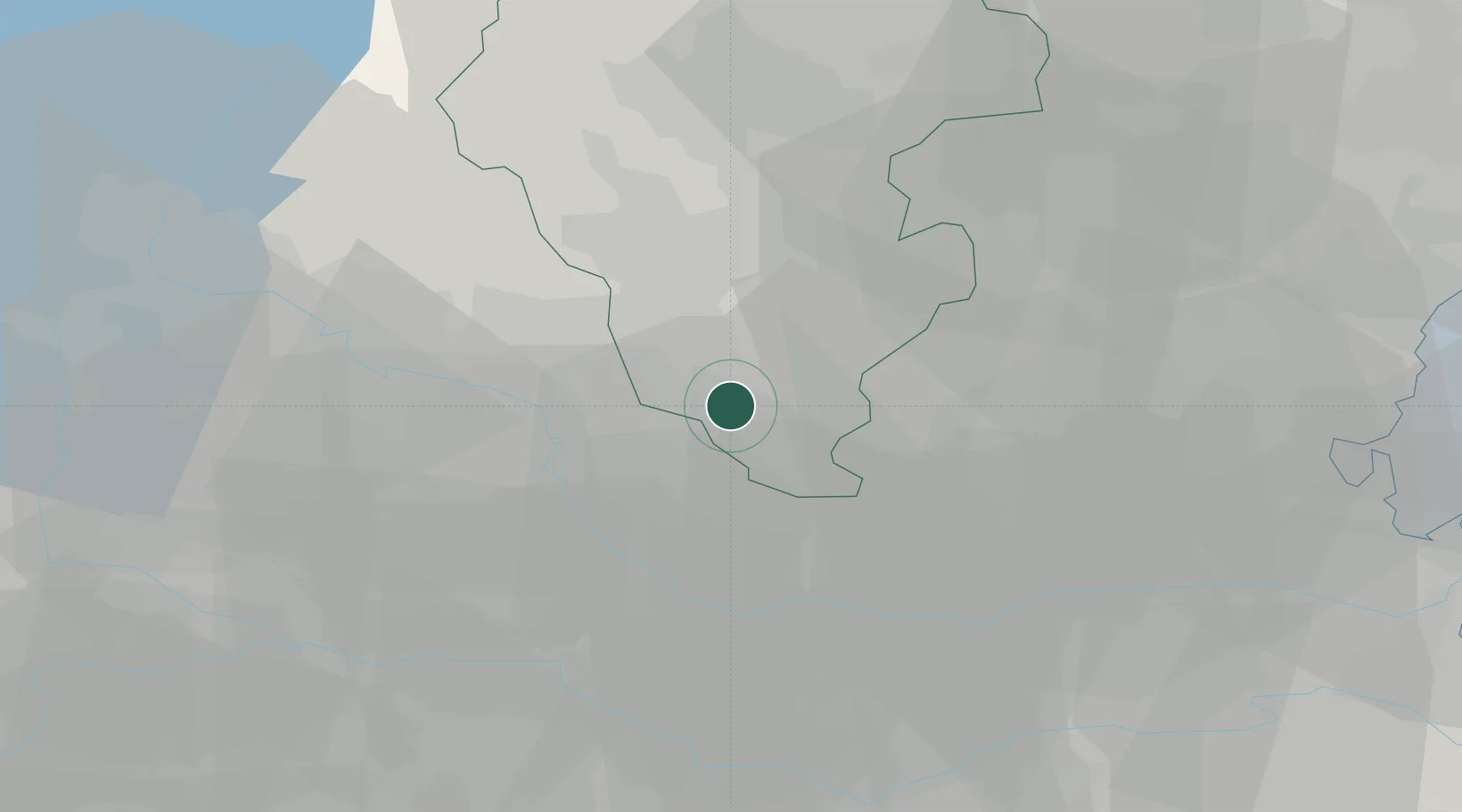
Hub Profile
Place type
District seat
Region
Veneto
Population
1,914
Time zone
Europe/Rome
Elevation
30 m
Location
Nearby Logistics Neighbours
Cities
- 1Campiglia dei Berici6 km
- 2San Germano dei Berici6 km
- 3Monticello di Fara10 km
- 4Santo Stefano di Zimella11 km
- 5Ponte San Nicolò12 km
Ports
- 1Porto Di Chioggia67 km
- 2Porto Di Lido-Venezia76 km
- 3Porto Garibaldi97 km
- 4Porto Di Corsini115 km
- 5Nogaro140 km
Airports
Trade Zones
DatabookThe Record of Consolidated Knowledge
Italy beyond logistics?