Transport Functions
Multimodal
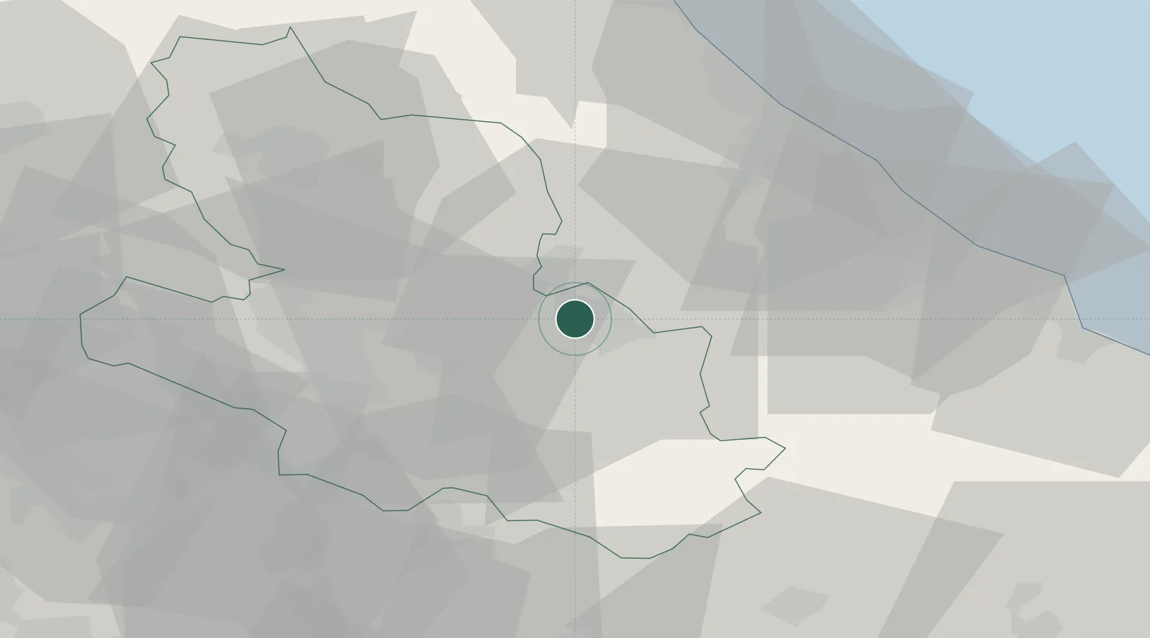
Hub Profile
Place type
District seat
Region
Abruzzo
Population
7,043
Time zone
Europe/Rome
Elevation
342 m
Location
Nearby Logistics Neighbours
Cities
- 1Sulmona8 km
- 2Bussi Officine11 km
- 3Alanno24 km
- 4Fara San Martino28 km
- 5Civitella Casanova30 km
Ports
- 1Pescara51 km
- 2Ortona53 km
- 3Vasto70 km
- 4Giulianova74 km
- 5San Benedetto Del Tronto96 km
Airports
- 1Abruzzo Airport45 km
- 2Guidonia Air Base94 km
- 3Latina Air Base101 km
- 4Ciampino–G. B. Pastine International Airport110 km
- 5Rome Urbe Airport114 km
DatabookThe Record of Consolidated Knowledge
Italy beyond logistics?