Transport Functions
Rail
Road
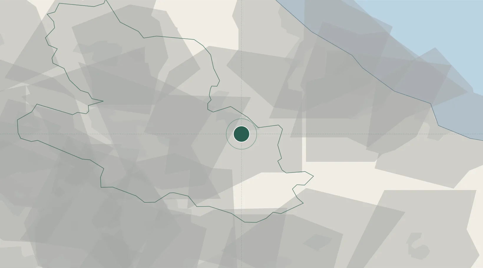
Hub Profile
Place type
District seat
Region
Abruzzo
Population
21,086
Time zone
Europe/Rome
Elevation
405 m
Location
Nearby Logistics Neighbours
Cities
- 1Pratola Peligna8 km
- 2Bussi Officine18 km
- 3Fara San Martino22 km
- 4Alanno28 km
- 5Civitella Casanova36 km
Ports
- 1Ortona52 km
- 2Pescara52 km
- 3Vasto65 km
- 4Giulianova79 km
- 5Formia92 km
Airports
- 1Abruzzo Airport47 km
- 2Guidonia Air Base99 km
- 3Latina Air Base102 km
- 4Grazzanise Air Base111 km
- 5Ciampino–G. B. Pastine International Airport114 km
DatabookThe Record of Consolidated Knowledge
Italy beyond logistics?