Transport Functions
Rail
Road
Multimodal
Hub Profile
Region
BL
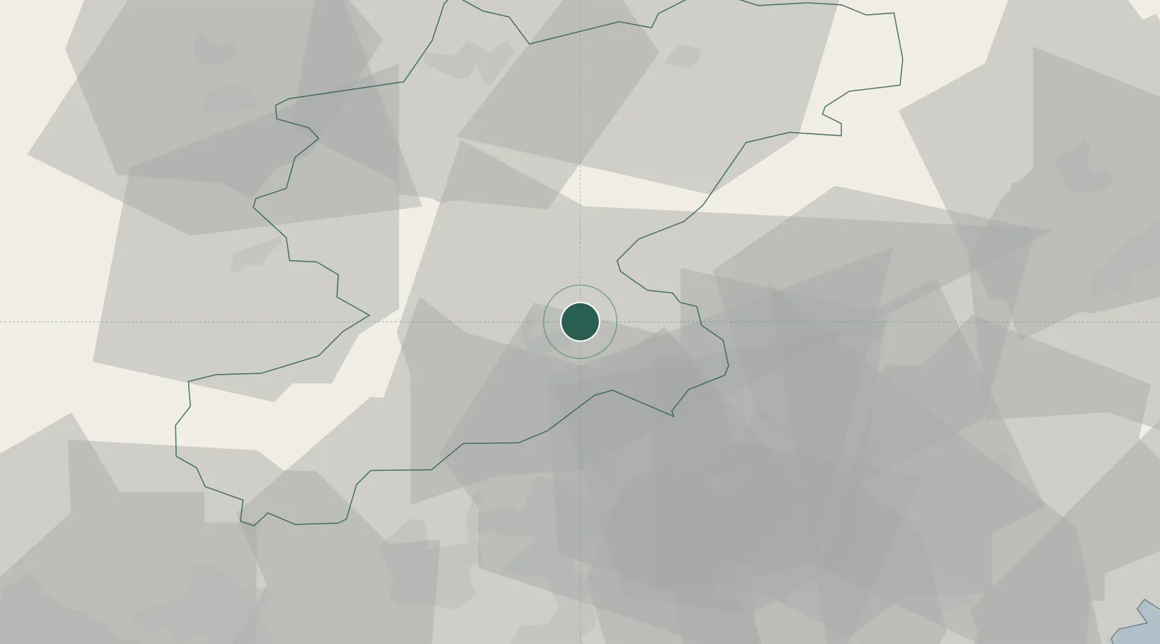
Location
Nearby Logistics Neighbours
Cities
- 1Castellavazzo11 km
- 2Sedico17 km
- 3Sospirolo18 km
- 4Bribano19 km
- 5Mel20 km
Ports
- 1Nogaro83 km
- 2Porto Di Lido-Venezia86 km
- 3Grado95 km
- 4Porto Di Chioggia106 km
- 5Monfalcone108 km
Airports
- 1Aviano Air Base29 km
- 2Istrana Air Base58 km
- 3Treviso Airport60 km
- 4Udine-Rivolto Air Base63 km
- 5Venice Marco Polo Airport76 km
Trade Zones
DatabookThe Record of Consolidated Knowledge
Italy beyond logistics?