Transport Functions
Multimodal
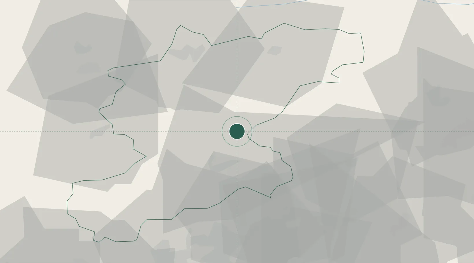
Hub Profile
Region
BL
Location
Nearby Logistics Neighbours
Cities
- 1Ponte nelle Alpi11 km
- 2Valle di Cadore15 km
- 3Agordo21 km
- 4Sospirolo25 km
- 5Sedico26 km
Ports
- 1Nogaro89 km
- 2Porto Di Lido-Venezia97 km
- 3Grado101 km
- 4Monfalcone111 km
- 5Porto Di Chioggia117 km
Airports
- 1Aviano Air Base36 km
- 2Udine-Rivolto Air Base67 km
- 3Istrana Air Base69 km
- 4Treviso Airport71 km
- 5Bolzano Airport77 km
Trade Zones
DatabookThe Record of Consolidated Knowledge
Italy beyond logistics?