Transport Functions
Multimodal
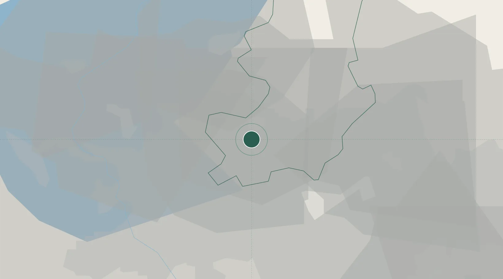
Hub Profile
Place type
District seat
Region
Lombardy
Population
7,483
Time zone
Europe/Rome
Elevation
350 m
Location
Nearby Logistics Neighbours
Cities
- 1Gironico4 km
- 2Bulgarograsso4 km
- 3Camerlata6 km
- 4Guanzate6 km
- 5Bulgorello di Cadorago6 km
Ports
- 1Genova152 km
- 2Chiavari - Lavagna164 km
- 3Savona166 km
- 4Rada Di Vado173 km
- 5La Spezia196 km
Airports
- 1Varese-Venegono Airport10 km
- 2Milan Malpensa International Airport27 km
- 3Lugano Airport28 km
- 4Cameri Air Base38 km
- 5Milano Linate Airport41 km
Trade Zones
- 1Magazzini Generali Con Chiasso10 km
- 2Livigno Free Trade Zone119 km
- 3Aosta Valley171 km
- 4Port Franc Vevey204 km
- 5PESA - Port-Franc et Entrepôts de Lausanne-Chavornay SA216 km
DatabookThe Record of Consolidated Knowledge
Italy beyond logistics?