UN/LOCODE hub · Italy
ITZPH

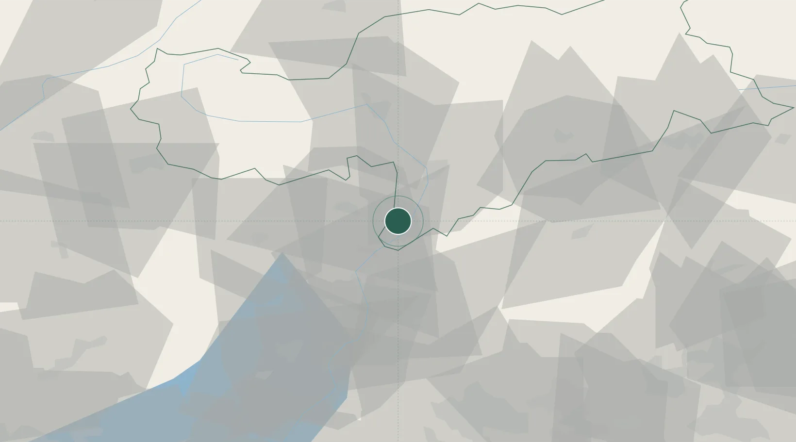
Cortaccia sulla Strada del Vino

46.3167°, 11.2167°
917
Population
2
Transport functions

Transport Functions

Road
Multimodal
UN/LOCODE

Hub Profile

Place type
District seat
GeoNames
Region
Trentino-Alto Adige
GeoNames
Population
917
GeoNames
Time zone
Europe/Rome
GeoNames
Elevation
344 m
GeoNames

Location

Location of ITZPH
Natural Earth 10m (public domain) · Trentino-Alto Adige · ITZPH · 46.32, 11.22GoogleOSMYandex

Nearby Logistics Neighbours

Cities
  1. 1Termeno3 km
  2. 2Cortina sulla Strada del Vino6 km
  3. 3Romeno12 km
  4. 4Bronzolo12 km
  5. 5Revò15 km
Nearest neighbours — logibook spatial index (haversine) over the source coordinates
Ports
  1. 1Porto Di Lido-Venezia137 km
  2. 2Porto Di Chioggia147 km
  3. 3Nogaro163 km
  4. 4Grado175 km
  5. 5Monfalcone190 km
Nearest neighbours — logibook spatial index (haversine) over the source coordinates
Airports
  1. 1Bolzano Airport18 km
  2. 2Trento-Mattarello Airport33 km
  3. 3Istrana Air Base97 km
  4. 4Engadin Airport105 km
  5. 5Innsbruck Airport105 km
Nearest neighbours — logibook spatial index (haversine) over the source coordinates
Trade Zones
  1. 1Livigno Free Trade Zone89 km
  2. 2Consorzio Zona Industriale e Porto Fluviale di Padova117 km
  3. 3Free Port of Venice130 km
  4. 4Magazzini Generali Con Chiasso183 km
  5. 5Free Port of Trieste210 km
Nearest neighbours — logibook spatial index (haversine) over the source coordinates
DatabookThe Record of Consolidated Knowledge
Italy beyond logistics?
Browse databook

All Sources

LocationsUN/LOCODE
UN/LOCODE — free
LocationsGeoNames
CC BY 4.0
Portsthe NGA World Port Index
Public domain (US gov)
AirportsOurAirports
Public domain
Trade Zonesthe World Bank SEZ database
CC BY 4.0
Trade ZonesOpen Zone Map
CC BY
← Italy locations