Transport Functions
Rail
Road
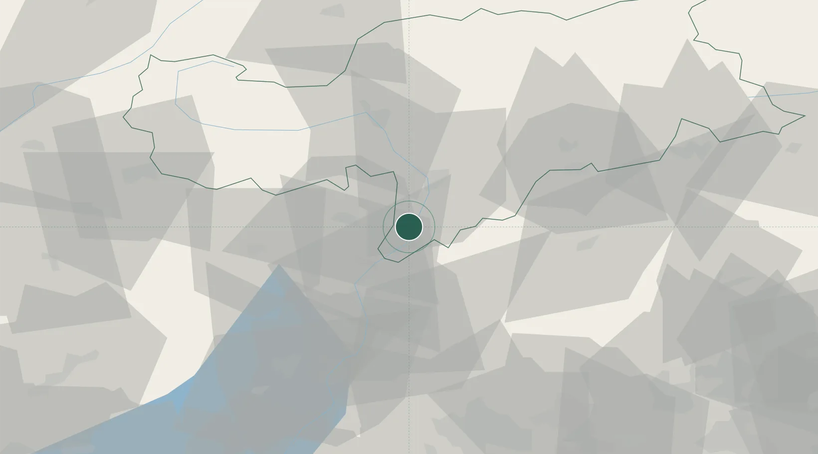
Hub Profile
Place type
District seat
Region
Trentino-Alto Adige
Population
2,853
Time zone
Europe/Rome
Elevation
260 m
Location
Nearby Logistics Neighbours
Cities
- 1Cortaccia sulla Strada del Vino3 km
- 2Cortina sulla Strada del Vino8 km
- 3Bronzolo9 km
- 4Romeno13 km
- 5Revò16 km
Ports
- 1Porto Di Lido-Venezia137 km
- 2Porto Di Chioggia147 km
- 3Nogaro161 km
- 4Grado173 km
- 5Monfalcone188 km
Airports
- 1Bolzano Airport15 km
- 2Trento-Mattarello Airport36 km
- 3Istrana Air Base97 km
- 4Innsbruck Airport103 km
- 5Treviso Airport106 km
Trade Zones
DatabookThe Record of Consolidated Knowledge
Italy beyond logistics?