UN/LOCODE hub · Italy
ITZET

Caltagirone

37.2333°, 14.5167°
38,391
Population
1
Transport functions

Transport Functions

Multimodal
UN/LOCODE

Hub Profile

Place type
District seat
GeoNames
Region
Sicily
GeoNames
Population
38,391
GeoNames
Time zone
Europe/Rome
GeoNames
Elevation
608 m
GeoNames

Location

Location of ITZET
Natural Earth 10m (public domain) · Sicily · ITZET · 37.23, 14.52GoogleOSMYandex

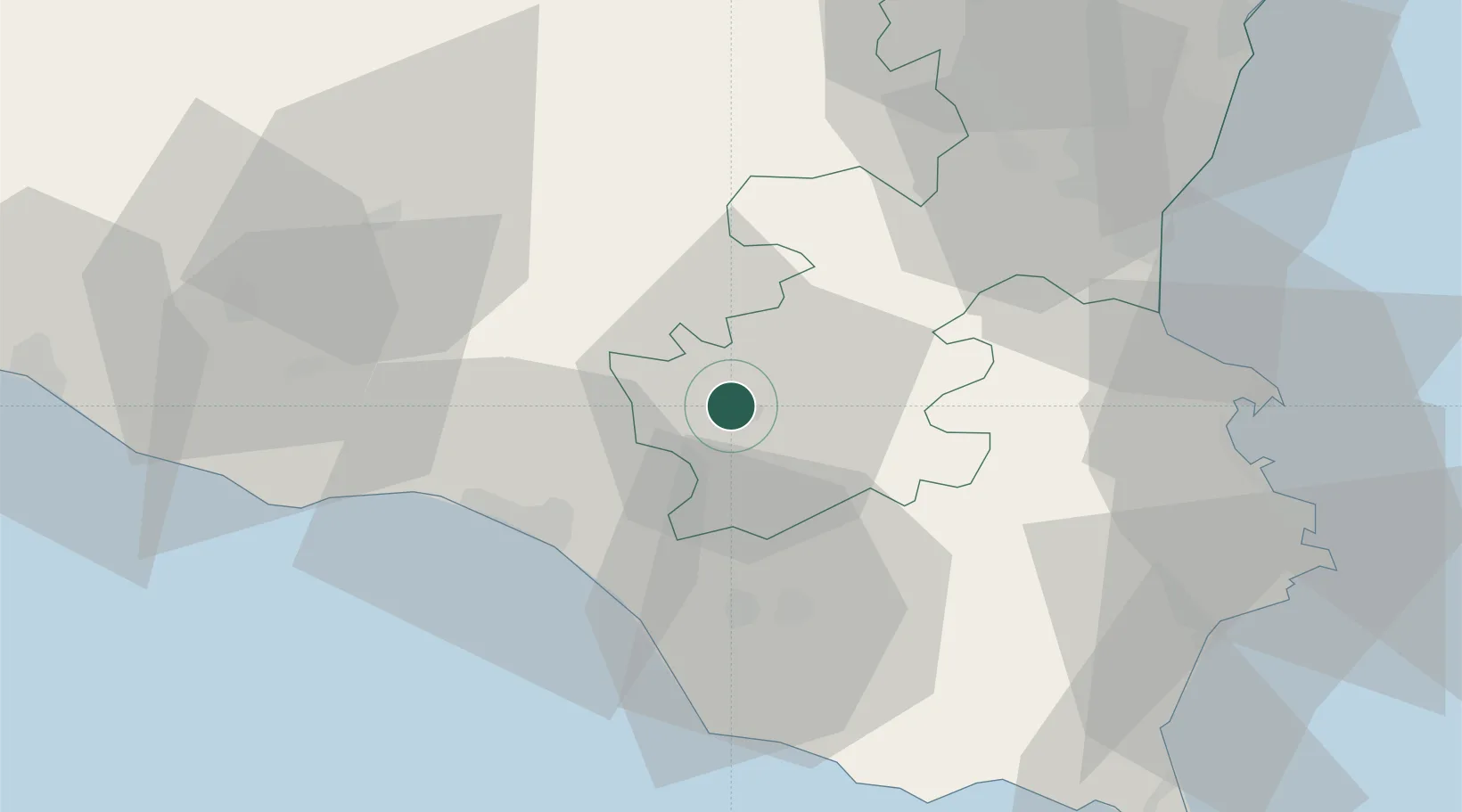
Nearby Logistics Neighbours

Cities
  1. 1Palagonia23 km
  2. 2Chiaramonte Gulfi28 km
  3. 3Gela30 km
  4. 4Scordia30 km
  5. 5Francofonte33 km
Nearest neighbours — logibook spatial index (haversine) over the source coordinates
Ports
  1. 1Gela30 km
  2. 2Licata54 km
  3. 3Catania60 km
  4. 4Augusta64 km
  5. 5Pozzallo65 km
Nearest neighbours — logibook spatial index (haversine) over the source coordinates
Airports
  1. 1Comiso Airport28 km
  2. 2Sigonella Navy Air Base41 km
  3. 3Catania-Fontanarossa Airport55 km
  4. 4Xewkija Heliport136 km
  5. 5Reggio Calabria Airport137 km
Nearest neighbours — logibook spatial index (haversine) over the source coordinates
Trade Zones
  1. 1Sicily Special Economic Zone Area42 km
  2. 2Malta Freeport158 km
  3. 3Calabria Special Economic Zone275 km
  4. 4Basilicata Special Economic Zone376 km
  5. 5Campania Special Economic Zone (Naples and Salerno)398 km
Nearest neighbours — logibook spatial index (haversine) over the source coordinates
DatabookThe Record of Consolidated Knowledge
Italy beyond logistics?
Browse databook

All Sources

LocationsUN/LOCODE
UN/LOCODE — free
LocationsGeoNames
CC BY 4.0
Portsthe NGA World Port Index
Public domain (US gov)
AirportsOurAirports
Public domain
Trade Zonesthe World Bank SEZ database
CC BY 4.0
Trade ZonesOpen Zone Map
CC BY
← Italy locations