UN/LOCODE hub · Italy
ITZTA

Scordia

37.3000°, 14.8500°
16,645
Population
1
Transport functions

Transport Functions

Multimodal
UN/LOCODE

Hub Profile

Place type
District seat
GeoNames
Region
Sicily
GeoNames
Population
16,645
GeoNames
Time zone
Europe/Rome
GeoNames
Elevation
150 m
GeoNames

Location

Location of ITZTA
Natural Earth 10m (public domain) · Sicily · ITZTA · 37.30, 14.85GoogleOSMYandex

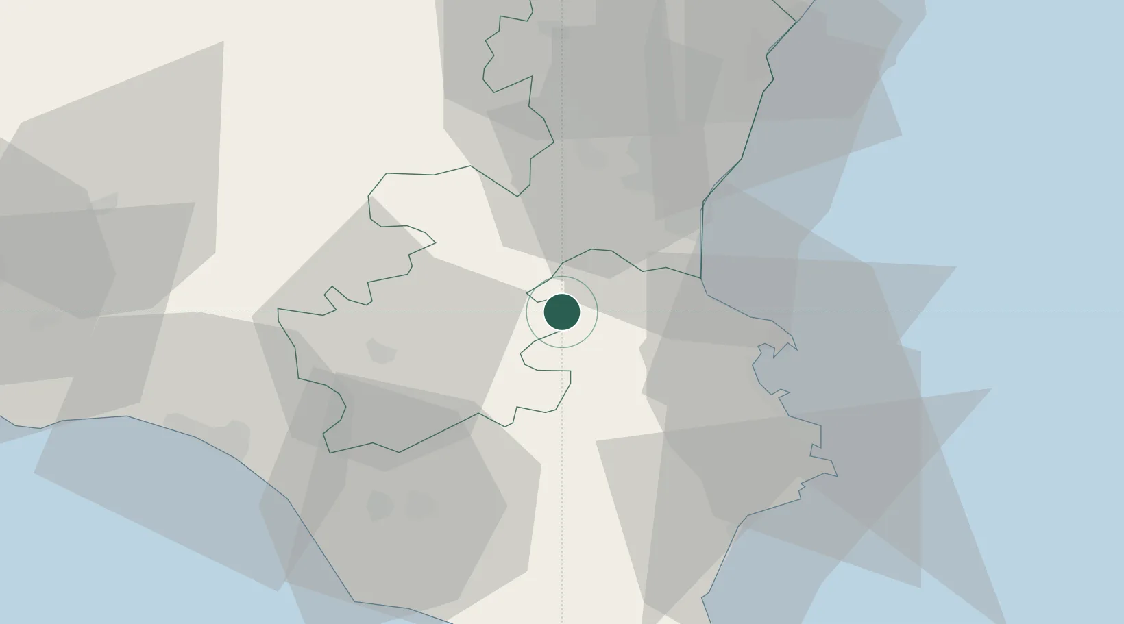
Nearby Logistics Neighbours

Cities
  1. 1Francofonte8 km
  2. 2Palagonia9 km
  3. 3Cassaro22 km
  4. 4Palazzolo Acreide26 km
  5. 5Catania29 km
Nearest neighbours — logibook spatial index (haversine) over the source coordinates
Ports
  1. 1Catania31 km
  2. 2Augusta35 km
  3. 3Santa Panagia47 km
  4. 4Siracusa47 km
  5. 5Riposta58 km
Nearest neighbours — logibook spatial index (haversine) over the source coordinates
Airports
  1. 1Sigonella Navy Air Base13 km
  2. 2Catania-Fontanarossa Airport27 km
  3. 3Comiso Airport40 km
  4. 4Reggio Calabria Airport111 km
  5. 5Xewkija Heliport151 km
Nearest neighbours — logibook spatial index (haversine) over the source coordinates
Trade Zones
  1. 1Sicily Special Economic Zone Area58 km
  2. 2Malta Freeport167 km
  3. 3Calabria Special Economic Zone254 km
  4. 4Basilicata Special Economic Zone363 km
  5. 5Campania Special Economic Zone (Naples and Salerno)397 km
Nearest neighbours — logibook spatial index (haversine) over the source coordinates
DatabookThe Record of Consolidated Knowledge
Italy beyond logistics?
Browse databook

All Sources

LocationsUN/LOCODE
UN/LOCODE — free
LocationsGeoNames
CC BY 4.0
Portsthe NGA World Port Index
Public domain (US gov)
AirportsOurAirports
Public domain
Trade Zonesthe World Bank SEZ database
CC BY 4.0
Trade ZonesOpen Zone Map
CC BY
← Italy locations