Transport Functions
Port
Hub Profile
Place type
District seat
Region
Sicily
Population
75,001
Time zone
Europe/Rome
Elevation
46 m
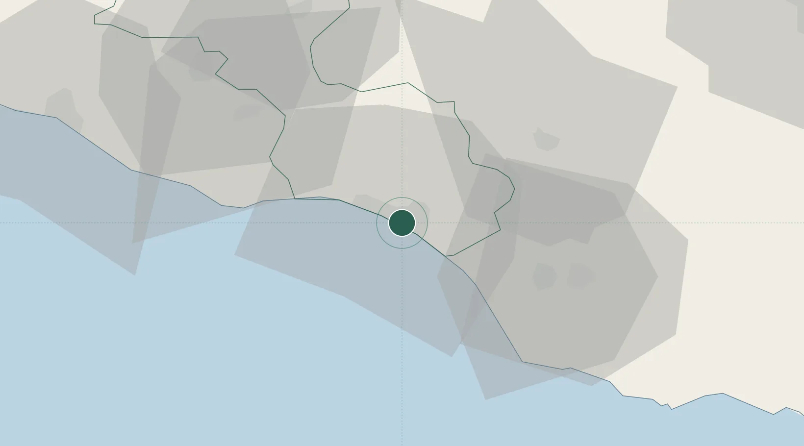
Location
Nearby Logistics Neighbours
Cities
- 1Scoglitti26 km
- 2Licata28 km
- 3Caltagirone30 km
- 4Santa Croce Camerina35 km
- 5Sommatino38 km
Ports
- 1Licata28 km
- 2Pozzallo66 km
- 3Porto Empedocle68 km
- 4Augusta89 km
- 5Catania89 km
Airports
- 1Comiso Airport33 km
- 2Sigonella Navy Air Base70 km
- 3Catania-Fontanarossa Airport85 km
- 4Xewkija Heliport116 km
- 5Malta International Airport137 km
Trade Zones
DatabookThe Record of Consolidated Knowledge
Italy beyond logistics?