Seaport · Italy
CataniaITCTA
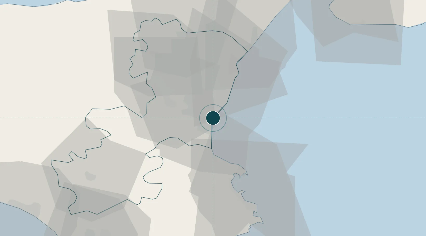
37.5000°, 15.1000°
11.0 m
Channel depth
1
Container terminals
11.1
Port liner connectivity
Channel & Berth Profile
Pilotage, Tugs & Services
Pilotage compulsoryYES
Pilotage availableYES
Pilotage advisableYES
Local assistanceYES
Tug assistanceYES
Shore powerNO
Potable waterYES
Diesel bunkersYES
MedicalYES
Garbage disposalYES
Facilities & Capabilities
Container—
Ro-Ro—
Liquid bulk—
Dry bulk—
Oil terminal—
Break bulk—
Dry dockNO
RepairsNO
BunkeringYES
Rail linkYES
Dangerous cargo—
ISPS security—
Harbour Specifications
Harbour size
Medium
Harbour type
Coastal (Breakwater)
Shelter
Fair
Water body
Mediterranean Sea; North Atlantic Ocean
Pilotage
Yes
Liner Connectivity
11.1
PLSCI
Port Liner Shipping Connectivity Index for Catania, as published by UNCTAD for the latest available quarter. Higher values indicate stronger scheduled liner-shipping integration.
Shown relative to the highest per-port PLSCI in the dataset (1,657.9).
Location
Container Terminals · 1
EST TERMINAL CATANIA
EST EUROPEA SERVIZI TERMINALISTICI
Nearby Logistics Neighbours
Ports
- 1Riposta28 km
- 2Augusta34 km
- 3Giardini Naxos40 km
- 4Santa Panagia51 km
- 5Siracusa53 km
Cities
- 1Aci Castello6 km
- 2Valverde8 km
- 3San Giovanni la Punta9 km
- 4Tremestieri Etneo9 km
- 5Aci Trezza10 km
Airports
- 1Catania-Fontanarossa Airport5 km
- 2Sigonella Navy Air Base19 km
- 3Comiso Airport71 km
- 4Reggio Calabria Airport80 km
- 5Palermo-Boccadifalco Airport171 km
Trade Zones
DatabookThe Record of Consolidated Knowledge
Italy beyond logistics?