Transport Functions
Multimodal
Hub Profile
Place type
District seat
Region
Sicily
Population
16,227
Time zone
Europe/Rome
Elevation
200 m
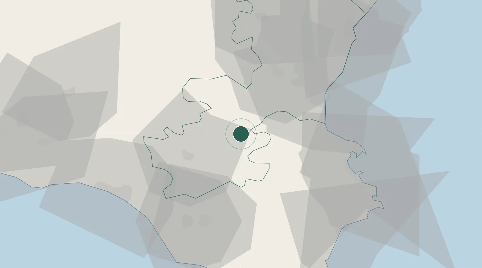
Location
Nearby Logistics Neighbours
Cities
- 1Scordia9 km
- 2Francofonte15 km
- 3Caltagirone23 km
- 4Cassaro28 km
- 5Palazzolo Acreide31 km
Ports
- 1Catania37 km
- 2Augusta44 km
- 3Gela52 km
- 4Santa Panagia56 km
- 5Siracusa56 km
Airports
- 1Sigonella Navy Air Base18 km
- 2Catania-Fontanarossa Airport33 km
- 3Comiso Airport38 km
- 4Reggio Calabria Airport116 km
- 5Xewkija Heliport150 km
Trade Zones
DatabookThe Record of Consolidated Knowledge
Italy beyond logistics?