Transport Functions
Rail
Road
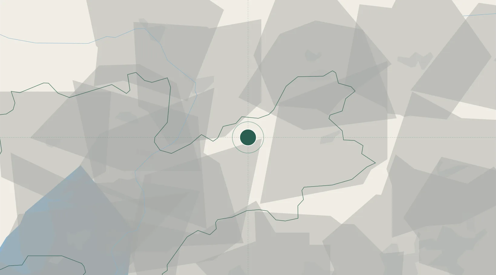
Hub Profile
Place type
District seat
Region
Trentino-Alto Adige
Population
2,281
Time zone
Europe/Rome
Elevation
1,000 m
Location
Nearby Logistics Neighbours
Cities
- 1Ziano di Fiemme6 km
- 2Bronzolo19 km
- 3Termeno20 km
- 4Cortina sulla Strada del Vino22 km
- 5Cortaccia sulla Strada del Vino22 km
Ports
- 1Porto Di Lido-Venezia121 km
- 2Porto Di Chioggia132 km
- 3Nogaro141 km
- 4Grado153 km
- 5Monfalcone168 km
Airports
- 1Bolzano Airport24 km
- 2Trento-Mattarello Airport41 km
- 3Istrana Air Base81 km
- 4Treviso Airport89 km
- 5Aviano Air Base89 km
Trade Zones
DatabookThe Record of Consolidated Knowledge
Italy beyond logistics?