Transport Functions
Rail
Road
Hub Profile
Place type
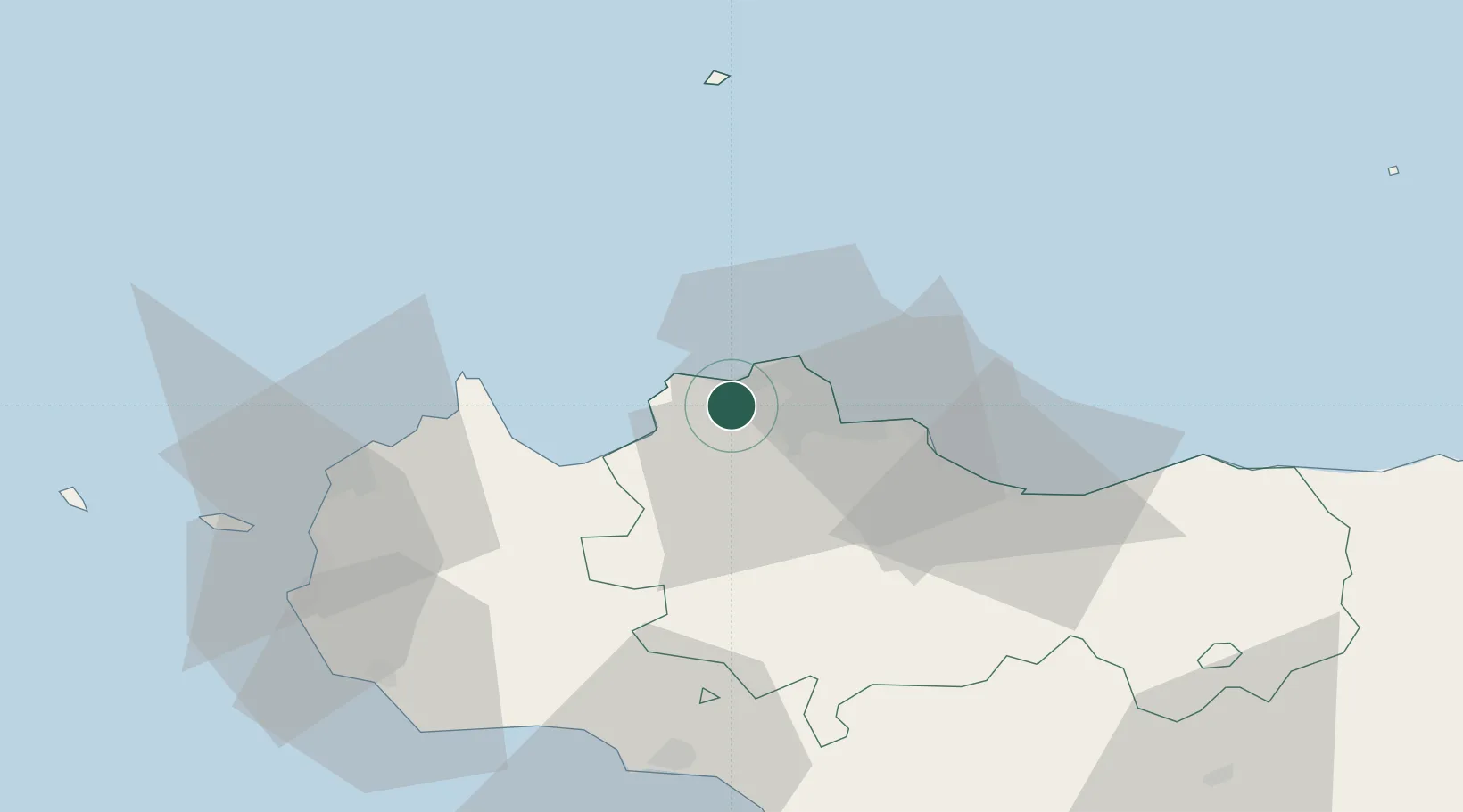
District seat
Region
Sicily
Population
35,082
Time zone
Europe/Rome
Elevation
170 m
Location
Nearby Logistics Neighbours
Cities
- 1Capaci5 km
- 2Giardinello7 km
- 3Sferracavallo8 km
- 4Isola delle Femmine9 km
- 5Cinisi9 km
Ports
- 1Porto Di Palermo16 km
- 2Castellammare Del Golfo30 km
- 3San Vito Lo Capo41 km
- 4Termini Imerese49 km
- 5Trapani62 km
Airports
- 1Palermo-Boccadifalco Airport10 km
- 2Falcone–Borsellino Airport11 km
- 3Vincenzo Florio Airport Trapani-Birgi67 km
- 4Sigonella Navy Air Base172 km
- 5Comiso Airport177 km
Trade Zones
DatabookThe Record of Consolidated Knowledge
Italy beyond logistics?