Transport Functions
Rail
Road
Hub Profile
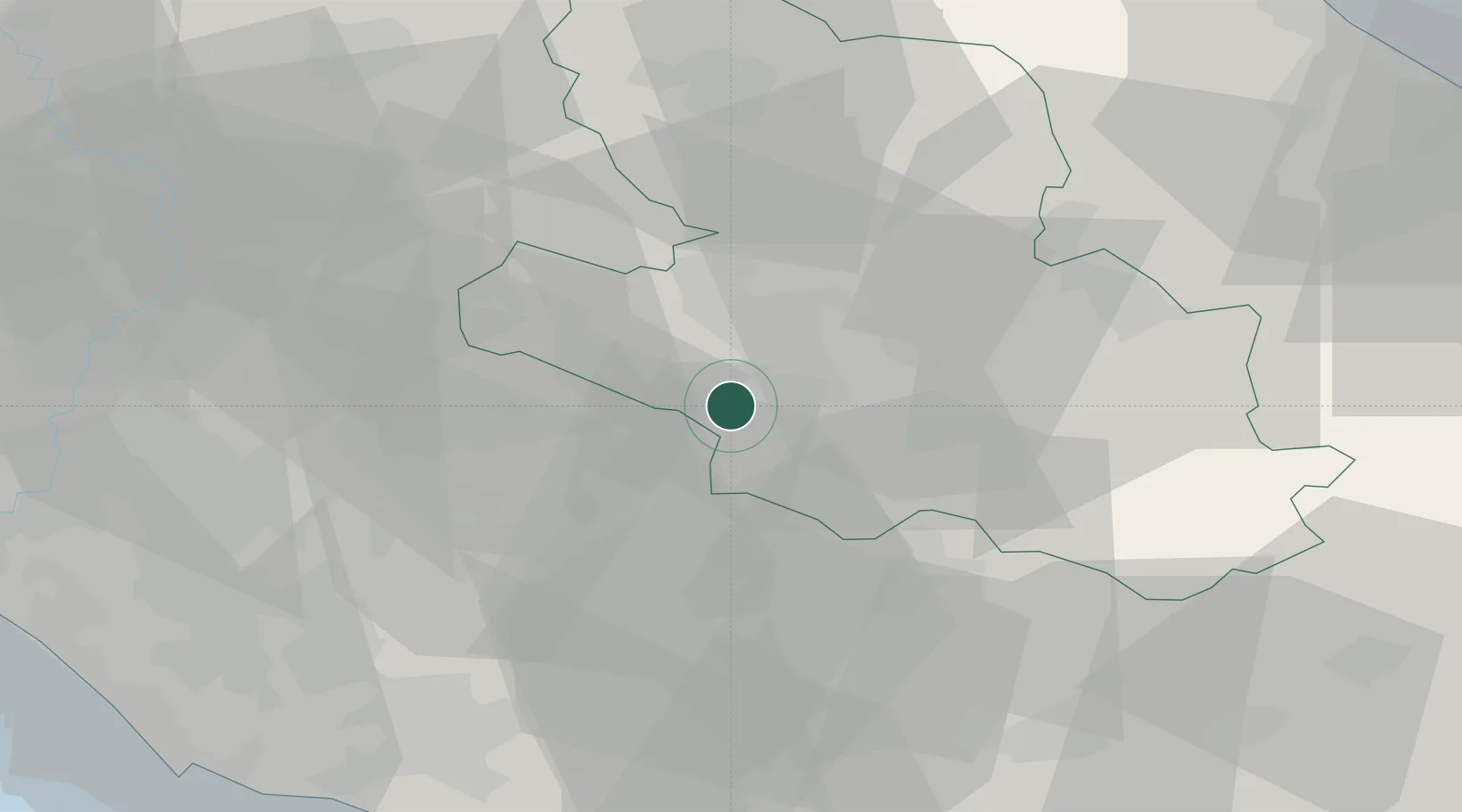
Place type
District seat
Region
Abruzzo
Population
4,795
Time zone
Europe/Rome
Elevation
734 m
Location
Nearby Logistics Neighbours
Cities
- 1Castellafiume6 km
- 2Balsorano Nuovo21 km
- 3Balsorano Vecchio23 km
- 4Carsoli30 km
- 5Sora32 km
Ports
- 1Terracina75 km
- 2Formia80 km
- 3Gaeta82 km
- 4Anzio - Nettuno84 km
- 5San Felice Circeo84 km
Airports
- 1Guidonia Air Base53 km
- 2Latina Air Base60 km
- 3Ciampino–G. B. Pastine International Airport67 km
- 4Rome Urbe Airport73 km
- 5Pratica Di Mare Air Base84 km
DatabookThe Record of Consolidated Knowledge
Italy beyond logistics?