Transport Functions
Port
Rail
Airport
Hub Profile
Place type
District seat
Region
Calabria
Population
7,918
Time zone
Europe/Rome
Elevation
44 m
Logistics facilities
1
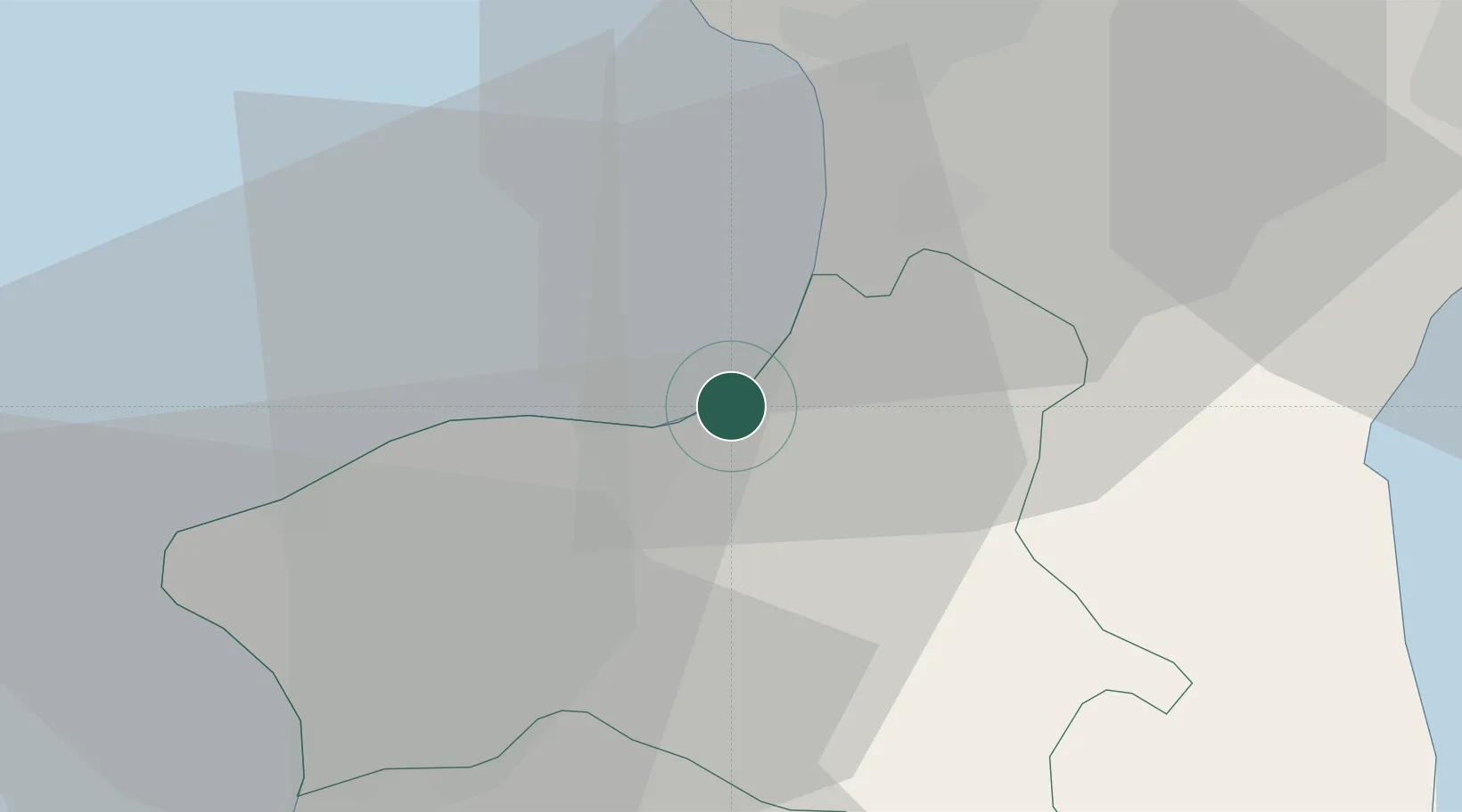
Location
Nearby Logistics Neighbours
Cities
- 1Maierato4 km
- 2Francavilla Angitola9 km
- 3Jonadi17 km
- 4Gizzeria28 km
- 5Nicotera Marina29 km
Ports
- 1Vibo Valentia Marina3 km
- 2Gioia Tauro40 km
- 3Villa San Giovanni74 km
- 4Messina79 km
- 5Reggio Di Calabria81 km
Airports
DatabookThe Record of Consolidated Knowledge
Italy beyond logistics?