Transport Functions
Multimodal
Hub Profile
Place type
District seat
Region
Calabria
Population
1,753
Time zone
Europe/Rome
Elevation
430 m
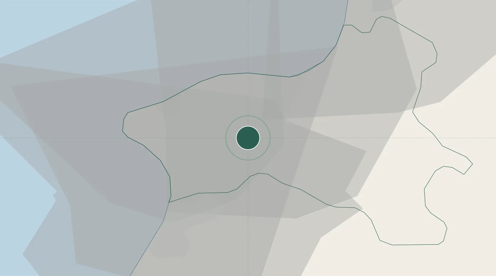
Location
Nearby Logistics Neighbours
Cities
- 1Nicotera Marina13 km
- 2Maierato15 km
- 3Pizzo17 km
- 4Rosarno17 km
- 5Melicucco20 km
Ports
- 1Vibo Valentia Marina14 km
- 2Gioia Tauro24 km
- 3Villa San Giovanni57 km
- 4Messina63 km
- 5Reggio Di Calabria65 km
Airports
DatabookThe Record of Consolidated Knowledge
Italy beyond logistics?