Transport Functions
Rail
Road
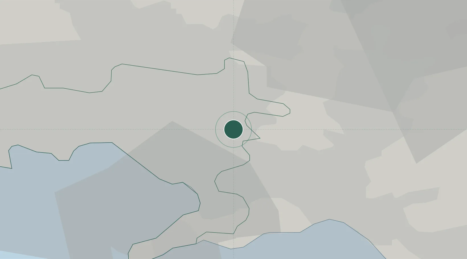
Hub Profile
Place type
District seat
Region
Campania
Population
12,689
Time zone
Europe/Rome
Elevation
63 m
Location
Nearby Logistics Neighbours
Cities
- 1San Paolo Bel Sito6 km
- 2San Giuseppe Vesuviano6 km
- 3Ottaviano7 km
- 4Marigliano11 km
- 5Roccarainola11 km
Ports
- 1Torre Annunziata16 km
- 2Torre Del Greco18 km
- 3Castellammare Di Stabia20 km
- 4Napoli23 km
- 5Salerno28 km
Airports
- 1Naples International Airport22 km
- 2Salerno Costa d'Amalfi Airport41 km
- 3Grazzanise Air Base45 km
- 4Foggia Gino Lisa Airport104 km
- 5Amendola Air Base123 km
DatabookThe Record of Consolidated Knowledge
Italy beyond logistics?