Transport Functions
Rail
Road
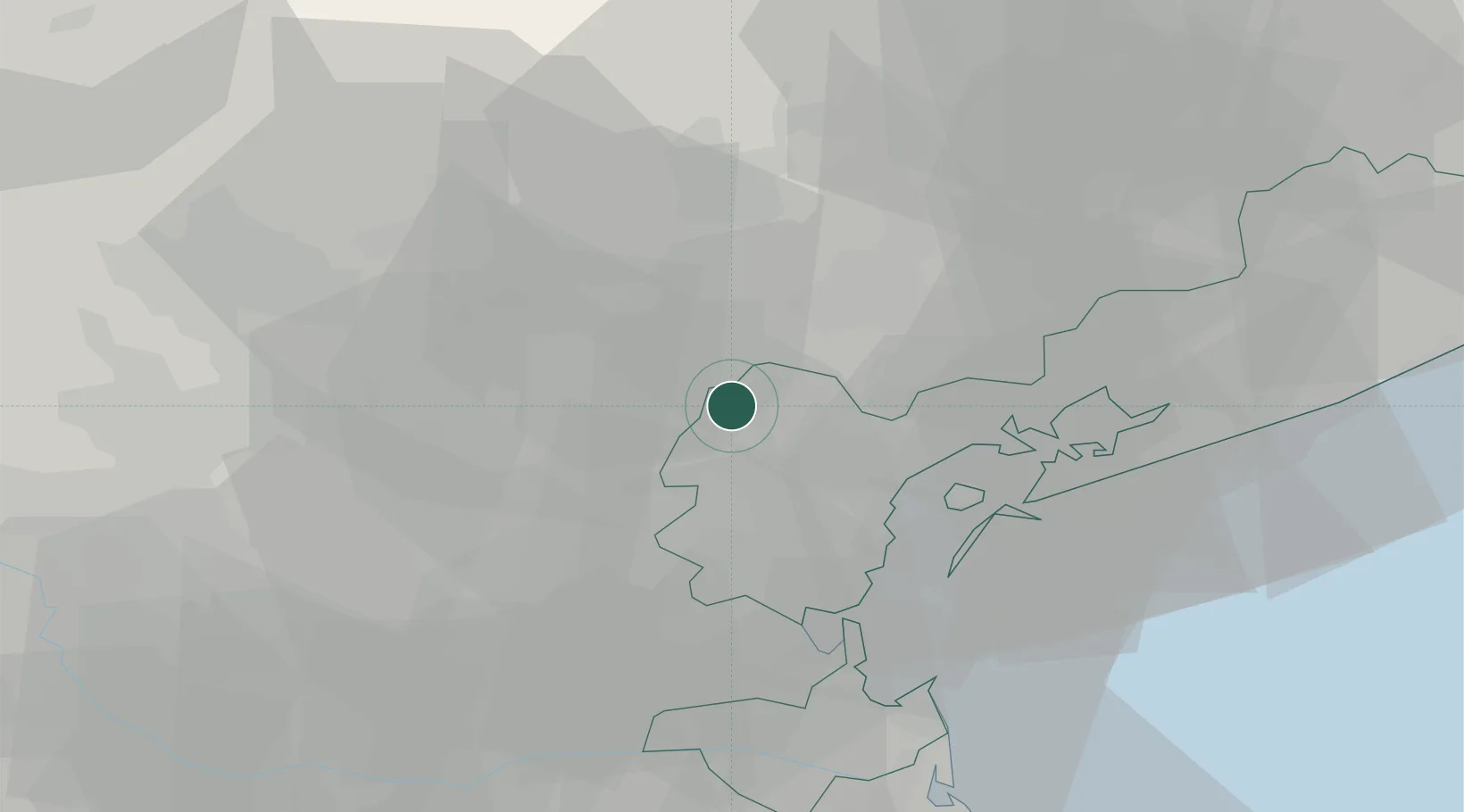
Hub Profile
Place type
District seat
Region
Veneto
Population
10,500
Time zone
Europe/Rome
Elevation
18 m
Location
Nearby Logistics Neighbours
Cities
- 1Salzano5 km
- 2Piombino Dese8 km
- 3Gardigiano9 km
- 4Spinea11 km
- 5Pianiga11 km
Ports
- 1Porto Di Lido-Venezia32 km
- 2Porto Di Chioggia40 km
- 3Nogaro89 km
- 4Grado97 km
- 5Porto Garibaldi98 km
Airports
- 1Treviso Airport15 km
- 2Istrana Air Base15 km
- 3Venice Marco Polo Airport23 km
- 4Padova Gino Allegri Airfield24 km
- 5Aviano Air Base68 km
Trade Zones
DatabookThe Record of Consolidated Knowledge
Italy beyond logistics?