UN/LOCODE hub · Italy
ITMRA

Marsala

37.8000°, 12.4333°
77,915
Population
3
Transport functions

Transport Functions

Port
Rail
Road
Marsala is also a profiled seaport →
UN/LOCODE

Hub Profile

Place type
District seat
GeoNames
Region
Sicily
GeoNames
Population
77,915
GeoNames
Time zone
Europe/Rome
GeoNames
Elevation
12 m
GeoNames

Location

Location of ITMRA
Natural Earth 10m (public domain) · Sicily · ITMRA · 37.80, 12.43GoogleOSMYandex

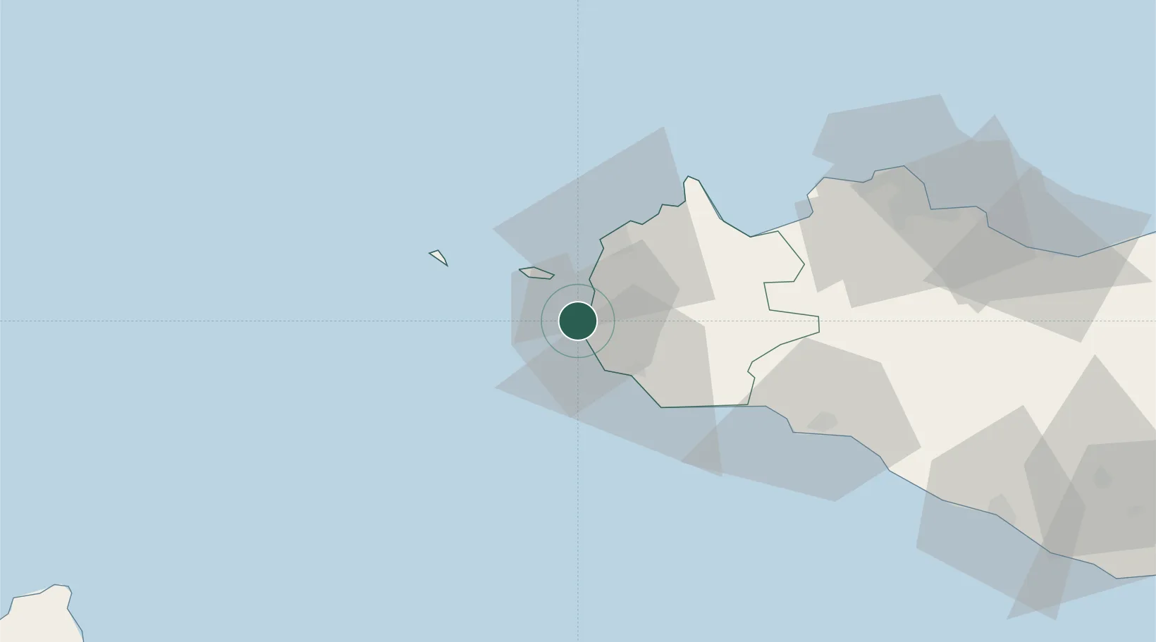
Nearby Logistics Neighbours

Cities
  1. 1Petrosino10 km
  2. 2Favignana17 km
  3. 3Isolotto Formica20 km
  4. 4Mazara del Vallo21 km
  5. 5Levanzo22 km
Nearest neighbours — logibook spatial index (haversine) over the source coordinates
Ports
  1. 1Favignana18 km
  2. 2Mazara Del Vallo22 km
  3. 3Levanzo22 km
  4. 4Trapani24 km
  5. 5Marettimo37 km
Nearest neighbours — logibook spatial index (haversine) over the source coordinates
Airports
  1. 1Vincenzo Florio Airport Trapani-Birgi13 km
  2. 2Falcone–Borsellino Airport71 km
  3. 3Palermo-Boccadifalco Airport85 km
  4. 4Pantelleria Airport117 km
  5. 5Comiso Airport212 km
Nearest neighbours — logibook spatial index (haversine) over the source coordinates
Trade Zones
  1. 1Sicily Special Economic Zone Area164 km
  2. 2Bizerte Park of Economic Activities234 km
  3. 3Malta Freeport289 km
  4. 4Campania Special Economic Zone (Naples and Salerno)344 km
  5. 5Calabria Special Economic Zone371 km
Nearest neighbours — logibook spatial index (haversine) over the source coordinates
DatabookThe Record of Consolidated Knowledge
Italy beyond logistics?
Browse databook

All Sources

LocationsUN/LOCODE
UN/LOCODE — free
LocationsGeoNames
CC BY 4.0
Portsthe NGA World Port Index
Public domain (US gov)
AirportsOurAirports
Public domain
Trade Zonesthe World Bank SEZ database
CC BY 4.0
Trade ZonesOpen Zone Map
CC BY
← Italy locations