Transport Functions
Port
Hub Profile
Place type
District seat
Region
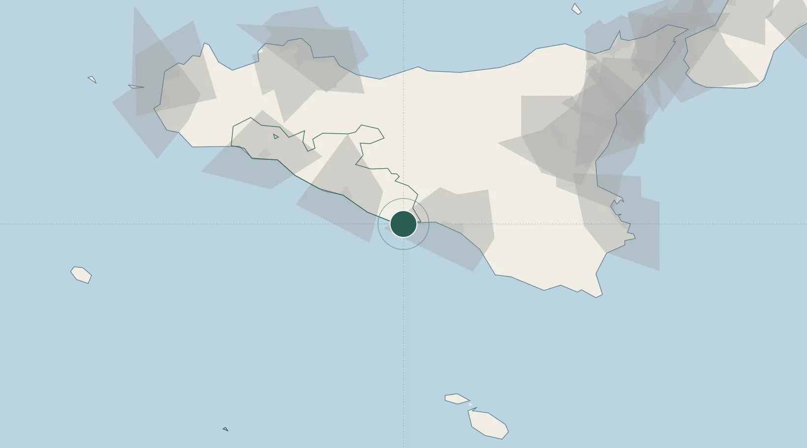
Sicily
Population
36,537
Time zone
Europe/Rome
Elevation
8 m
Location
Nearby Logistics Neighbours
Cities
- 1Sommatino26 km
- 2Gela28 km
- 3Canicatti29 km
- 4Scoglitti51 km
- 5Caltagirone54 km
Ports
- 1Gela28 km
- 2Porto Empedocle41 km
- 3Sciacca88 km
- 4Pozzallo92 km
- 5Termini Imerese100 km
Airports
- 1Comiso Airport61 km
- 2Sigonella Navy Air Base94 km
- 3Catania-Fontanarossa Airport108 km
- 4Xewkija Heliport123 km
- 5Palermo-Boccadifalco Airport126 km
Trade Zones
DatabookThe Record of Consolidated Knowledge
Italy beyond logistics?