Transport Functions
Multimodal
Hub Profile
Place type
District seat
Region
Campania
Population
6,875
Time zone
Europe/Rome
Elevation
29 m
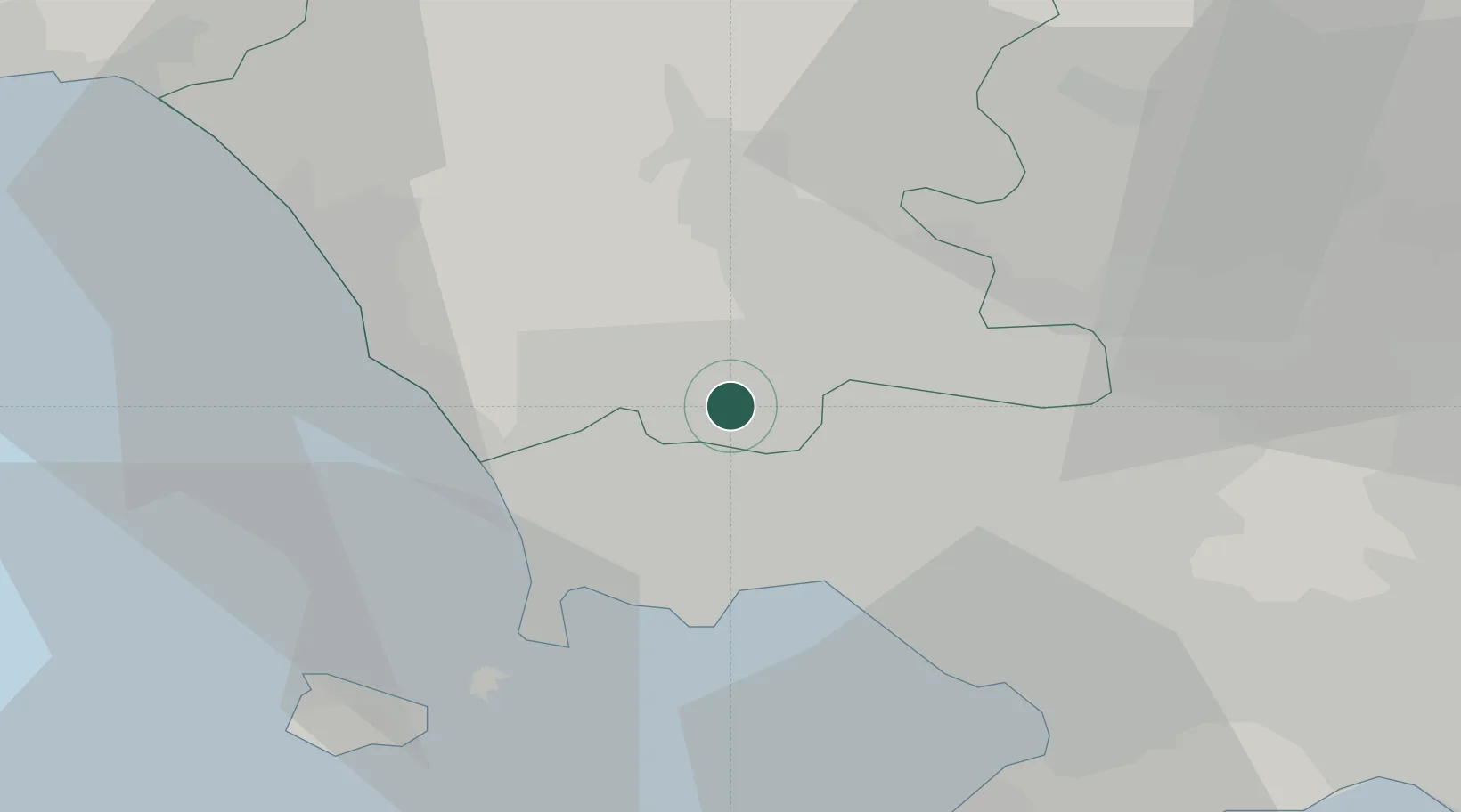
Location
Nearby Logistics Neighbours
Cities
- 1Gricignano di Aversa1 km
- 2Aversa3 km
- 3Succivo3 km
- 4Orta di Atella5 km
- 5Villa di Briano6 km
Ports
- 1Napoli17 km
- 2Pozzuoli20 km
- 3Bagnoli20 km
- 4Baia22 km
- 5Torre Del Greco26 km
Airports
- 1Naples International Airport13 km
- 2Grazzanise Air Base14 km
- 3Salerno Costa d'Amalfi Airport71 km
- 4Foggia Gino Lisa Airport121 km
- 5Latina Air Base126 km
DatabookThe Record of Consolidated Knowledge
Italy beyond logistics?