Transport Functions
Rail
Road
Hub Profile
Place type
District seat
Region
Campania
Population
52,974
Time zone
Europe/Rome
Elevation
39 m
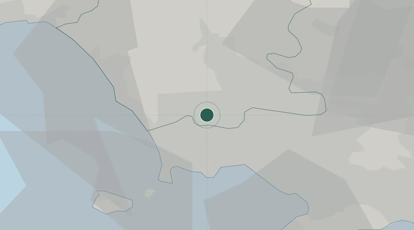
Location
Nearby Logistics Neighbours
Cities
- 1Carinaro3 km
- 2Villa di Briano3 km
- 3Gricignano di Aversa4 km
- 4Succivo6 km
- 5Orta di Atella7 km
Airports
- 1Grazzanise Air Base12 km
- 2Naples International Airport14 km
- 3Salerno Costa d'Amalfi Airport73 km
- 4Latina Air Base123 km
- 5Foggia Gino Lisa Airport124 km
DatabookThe Record of Consolidated Knowledge
Italy beyond logistics?