Transport Functions
Rail
Road
Hub Profile
Place type
District seat
Region
Lombardy
Population
8,997
Time zone
Europe/Rome
Elevation
237 m
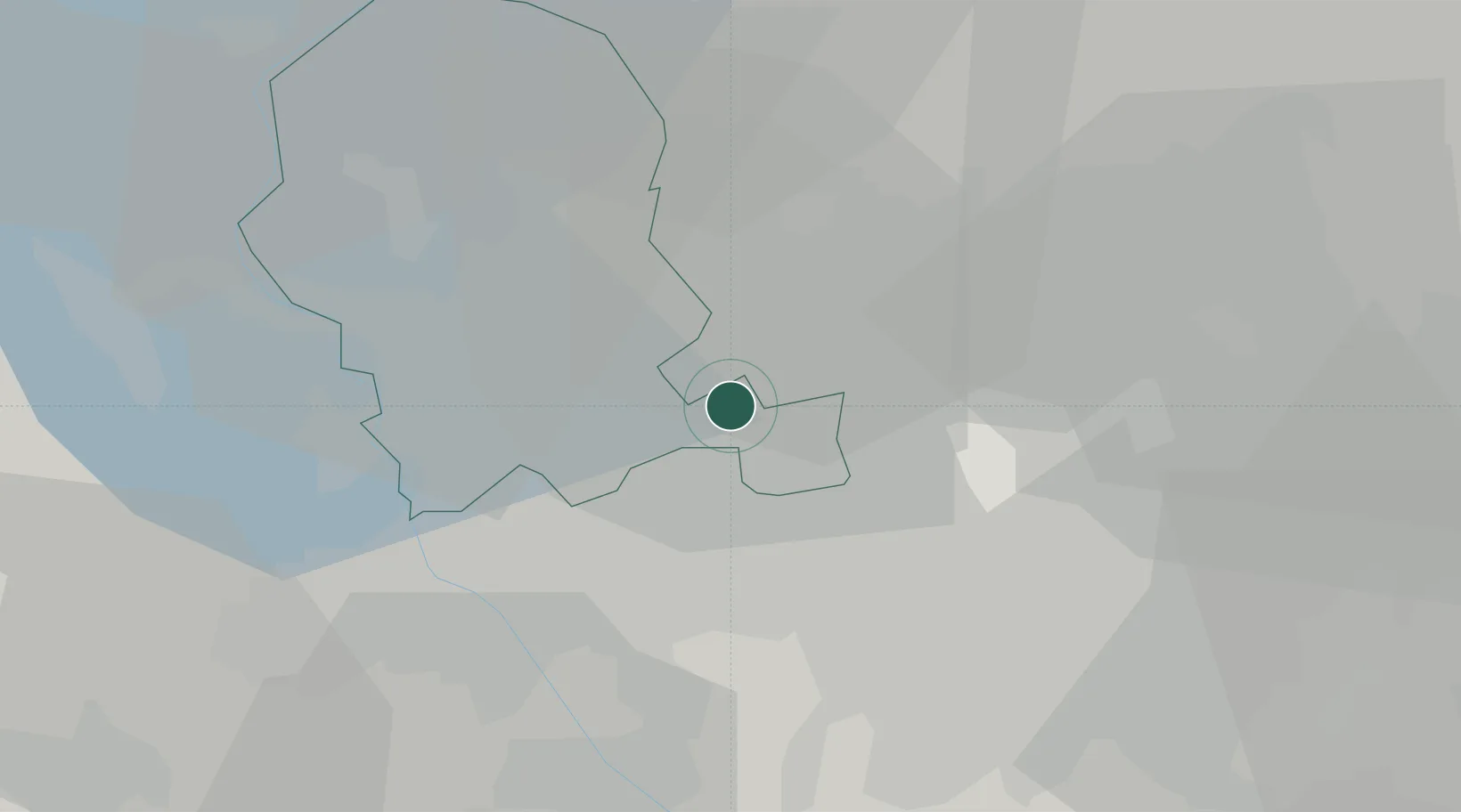
Location
Nearby Logistics Neighbours
Cities
- 1Limido Comasco4 km
- 2Locate Varesino4 km
- 3Carbonate5 km
- 4Rovello Porro5 km
- 5Cirimido6 km
Ports
- 1Genova139 km
- 2Chiavari - Lavagna152 km
- 3Savona153 km
- 4Rada Di Vado159 km
- 5La Spezia185 km
Airports
- 1Varese-Venegono Airport12 km
- 2Milan Malpensa International Airport19 km
- 3Cameri Air Base27 km
- 4Milano Linate Airport33 km
- 5Lugano Airport40 km
Trade Zones
- 1Magazzini Generali Con Chiasso22 km
- 2Livigno Free Trade Zone131 km
- 3Aosta Valley168 km
- 4Port Franc Vevey206 km
- 5PESA - Port-Franc et Entrepôts de Lausanne-Chavornay SA219 km
DatabookThe Record of Consolidated Knowledge
Italy beyond logistics?