UN/LOCODE hub · Italy
ITBCL

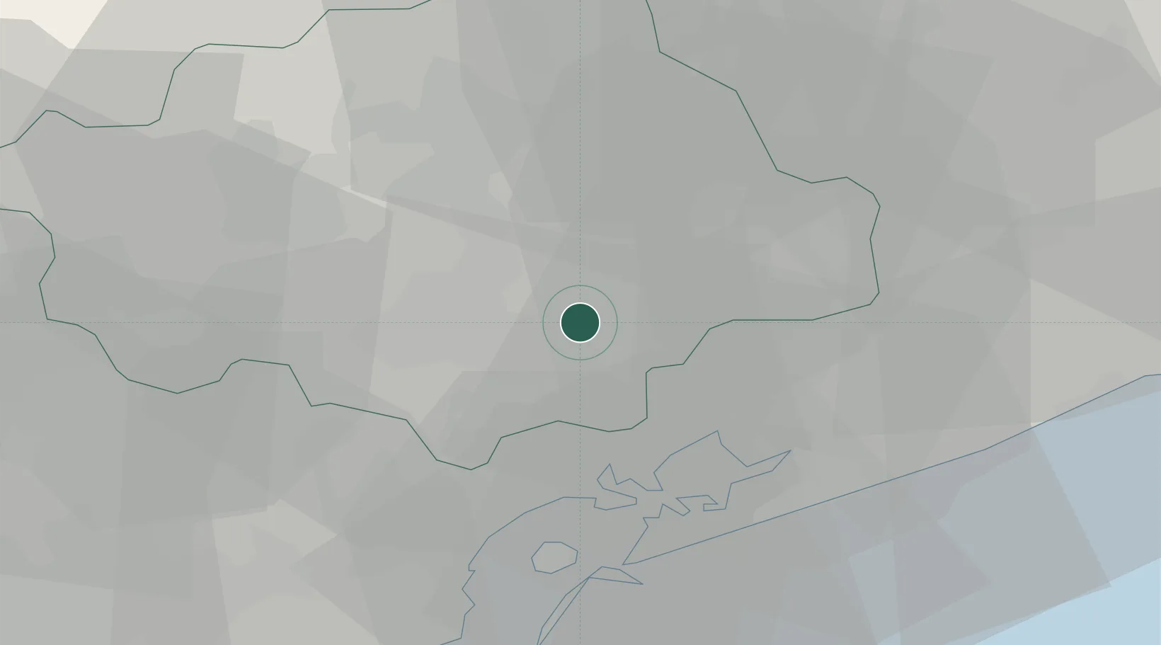
San Biagio di Callalta

45.6833°, 12.3667°
2,584
Population
2
Transport functions

Transport Functions

Rail
Road
UN/LOCODE

Hub Profile

Place type
District seat
GeoNames
Region
Veneto
GeoNames
Population
2,584
GeoNames
Time zone
Europe/Rome
GeoNames
Elevation
10 m
GeoNames

Location

Location of ITBCL
Natural Earth 10m (public domain) · Veneto · ITBCL · 45.68, 12.37GoogleOSMYandex

Nearby Logistics Neighbours

Cities
  1. 1Vacil6 km
  2. 2Ponte di Piave9 km
  3. 3Spresiano13 km
  4. 4Campo di Pietra13 km
  5. 5Fossalta Maggiore15 km
Nearest neighbours — logibook spatial index (haversine) over the source coordinates
Ports
  1. 1Porto Di Lido-Venezia30 km
  2. 2Porto Di Chioggia50 km
  3. 3Nogaro63 km
  4. 4Grado72 km
  5. 5Monfalcone93 km
Nearest neighbours — logibook spatial index (haversine) over the source coordinates
Airports
  1. 1Treviso Airport14 km
  2. 2Venice Marco Polo Airport20 km
  3. 3Istrana Air Base22 km
  4. 4Aviano Air Base43 km
  5. 5Padova Gino Allegri Airfield52 km
Nearest neighbours — logibook spatial index (haversine) over the source coordinates
Trade Zones
  1. 1Free Port of Venice28 km
  2. 2Consorzio Zona Industriale e Porto Fluviale di Padova48 km
  3. 3Free Port of Trieste108 km
  4. 4Port of Pula Free Zone147 km
  5. 5Port of Rijeka Free Zone158 km
Nearest neighbours — logibook spatial index (haversine) over the source coordinates
DatabookThe Record of Consolidated Knowledge
Italy beyond logistics?
Browse databook

All Sources

LocationsUN/LOCODE
UN/LOCODE — free
LocationsGeoNames
CC BY 4.0
Portsthe NGA World Port Index
Public domain (US gov)
AirportsOurAirports
Public domain
Trade Zonesthe World Bank SEZ database
CC BY 4.0
Trade ZonesOpen Zone Map
CC BY
← Italy locations