Transport Functions
Port
Rail
Road
Hub Profile
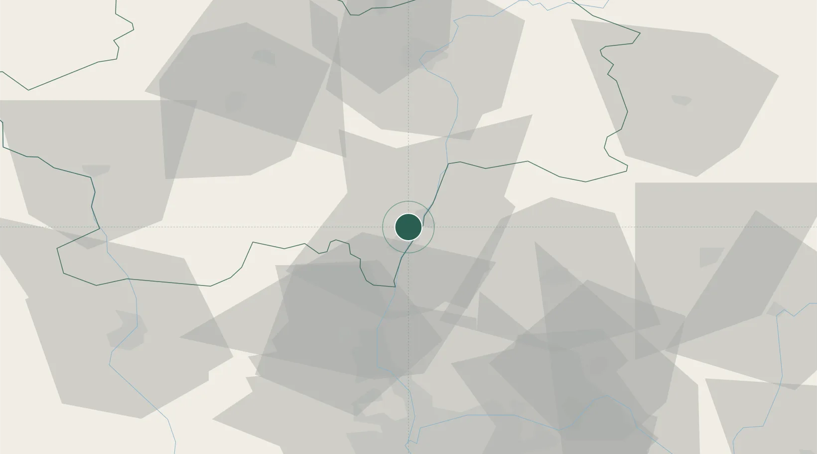
Place type
Populated place
Region
Bourgogne
Population
1,843
Time zone
Europe/Paris
Elevation
194 m
Location
Nearby Logistics Neighbours
Ports
- 1Fos324 km
- 2Port-de-Bouc326 km
- 3Port Saint Louis Du Rhone328 km
- 4Marseille338 km
- 5Sete338 km
Airports
- 1Mâcon-Charnay Airfield5 km
- 2Ambérieu Air Base (BA 278)54 km
- 3Saint-Yan Airport64 km
- 4Lyon Bron Airport68 km
- 5Lyon Saint-Exupéry Airport70 km
Trade Zones
- 1ZFU Rillieux-la-Pape56 km
- 2ZFU Vaulx-en-Velin62 km
- 3ZFU Lyon 9e62 km
- 4ZFU Vénissieux71 km
- 5Geneva Cointrin International Airport Free Port97 km
DatabookThe Record of Consolidated Knowledge
France beyond logistics?