Transport Functions
Port
Road
Hub Profile
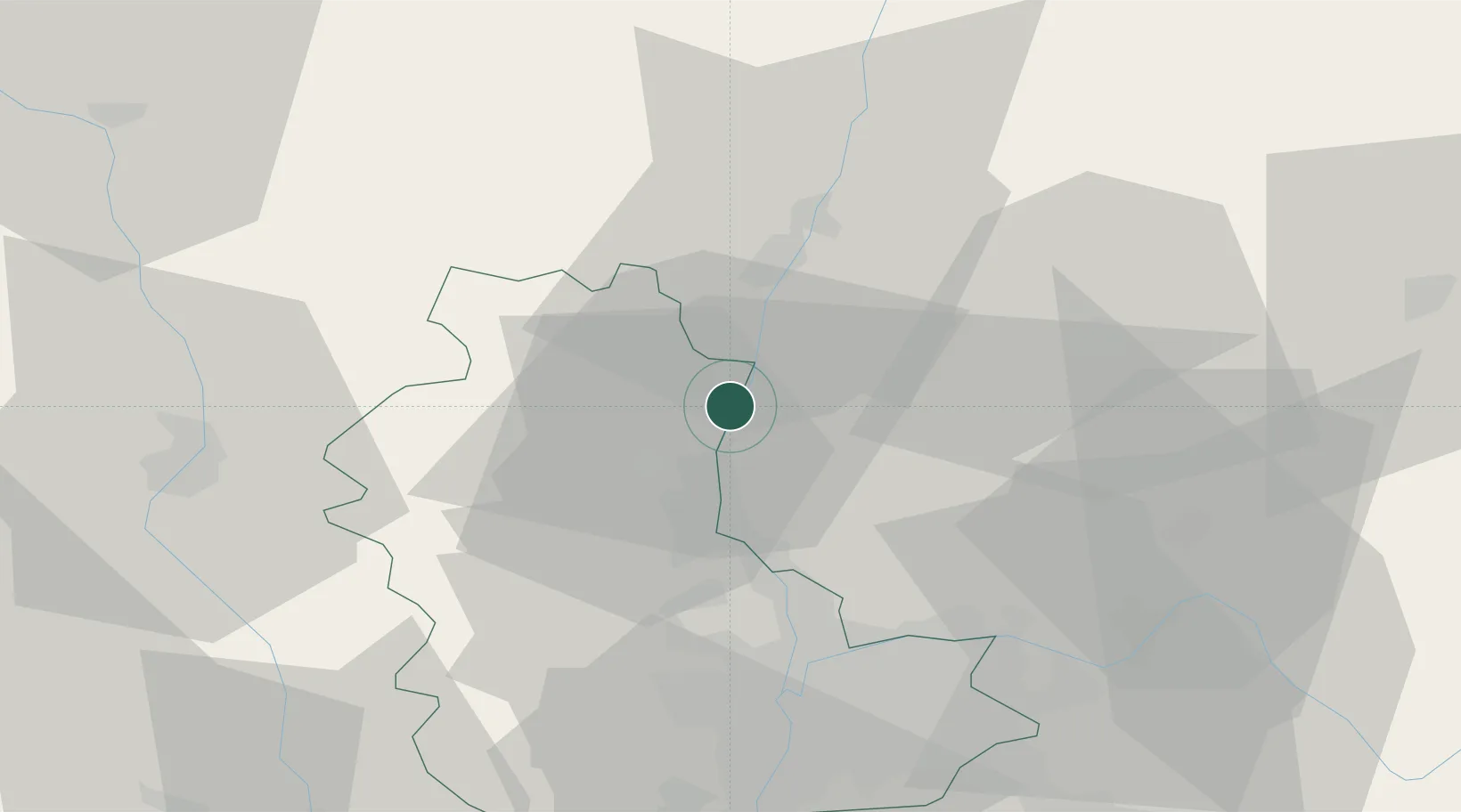
Place type
Populated place
Region
Rhône-Alpes
Population
607
Time zone
Europe/Paris
Elevation
176 m
Location
Nearby Logistics Neighbours
Cities
- 1Belleville-en-Beaujolais3 km
- 2Peyzieux-sur-Saône4 km
- 3Corcelles-en-Beaujolais5 km
- 4Charentay7 km
- 5Cercié8 km
Ports
- 1Fos300 km
- 2Port-de-Bouc303 km
- 3Port Saint Louis Du Rhone304 km
- 4Sete314 km
- 5Marseille315 km
Airports
- 1Mâcon-Charnay Airfield20 km
- 2Lyon Bron Airport45 km
- 3Ambérieu Air Base (BA 278)46 km
- 4Lyon Saint-Exupéry Airport50 km
- 5Roanne-Renaison Airport60 km
Trade Zones
- 1ZFU Rillieux-la-Pape33 km
- 2ZFU Lyon 9e38 km
- 3ZFU Vaulx-en-Velin39 km
- 4ZFU Vénissieux47 km
- 5ZFU Saint-Etienne85 km
DatabookThe Record of Consolidated Knowledge
France beyond logistics?