Transport Functions
Multimodal
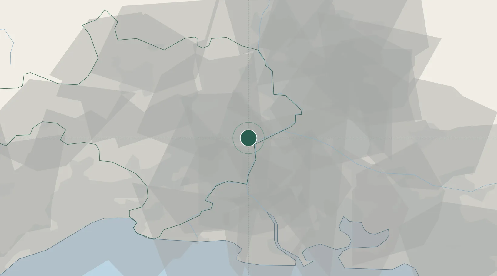
Hub Profile
Place type
Populated place
Region
Occitanie
Population
959
Time zone
Europe/Paris
Elevation
42 m
Location
Nearby Logistics Neighbours
Cities
- 1Montfrin2 km
- 2Fournès4 km
- 3Aramon4 km
- 4Meynes4 km
- 5Mézoargues5 km
Ports
- 1Fos58 km
- 2Port Saint Louis Du Rhone60 km
- 3Port-de-Bouc63 km
- 4Marseille89 km
- 5Sete92 km
Airports
Trade Zones
- 1ZFU Avignon16 km
- 2ZFU Nîmes23 km
- 3ZFU Montpellier70 km
- 4ZFU Saint-Barthélémy, Le Canet, Delorme-Paternelle85 km
- 5ZFU Marseille 15e et 16e87 km
DatabookThe Record of Consolidated Knowledge
France beyond logistics?