UN/LOCODE hub · France
FRVPG
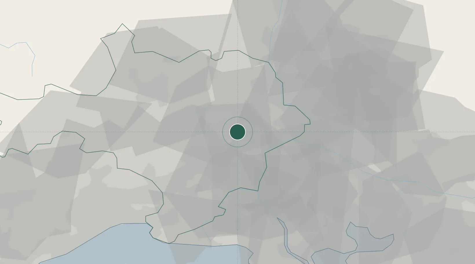
Vers-Pont-du-Gard
43.9667°, 4.5167°
1,696
Population
2
Transport functions
Transport Functions
Road
Multimodal
Hub Profile
Place type
Populated place
Region
Occitanie
Population
1,696
Time zone
Europe/Paris
Elevation
68 m
Location
Nearby Logistics Neighbours
Cities
- 1Castillon-du-Gard3 km
- 2Saint-Hilaire-d'Ozilhan5 km
- 3Remoulins6 km
- 4Lédenon6 km
- 5Sernhac6 km
Ports
- 1Fos68 km
- 2Port Saint Louis Du Rhone69 km
- 3Port-de-Bouc73 km
- 4Sete91 km
- 5Marseille100 km
Airports
Trade Zones
- 1ZFU Nîmes21 km
- 2ZFU Avignon23 km
- 3ZFU Montpellier67 km
- 4ZFU Saint-Barthélémy, Le Canet, Delorme-Paternelle96 km
- 5ZFU Marseille 15e et 16e98 km
DatabookThe Record of Consolidated Knowledge
France beyond logistics?